 |


 |
|
<previous
next>
view
play
stop
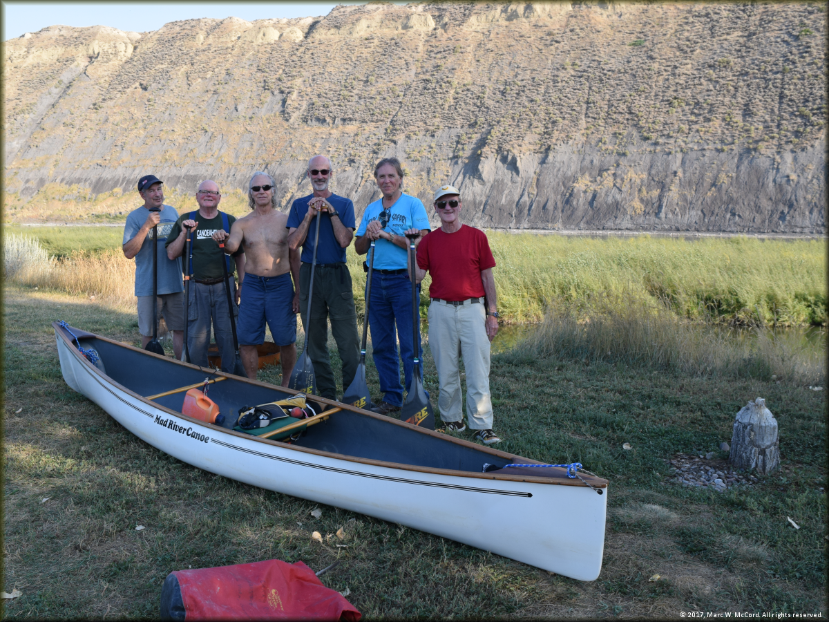
L to R: Bob Tucker, Darrell Foss, Jeff Josephs, Larry Rice, Marc McCord and Cliff Jacobson at Chouteau County Fairgrounds in Fort Benton, Montana
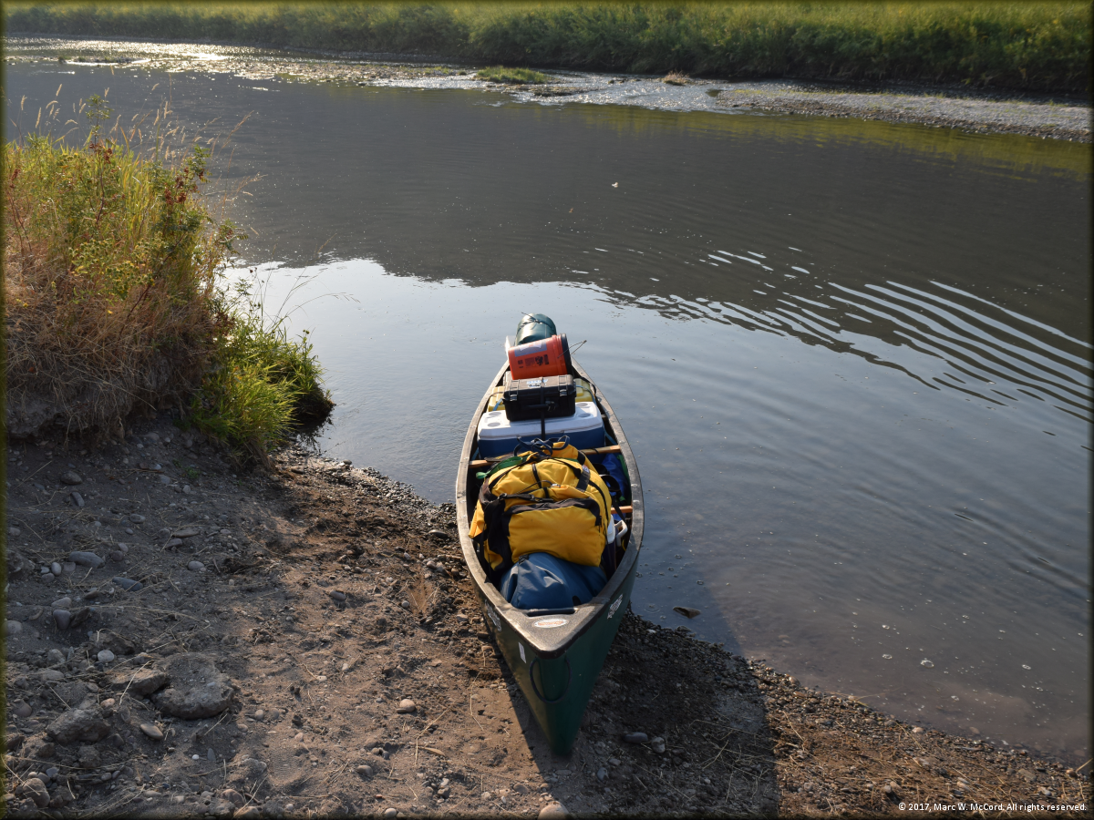
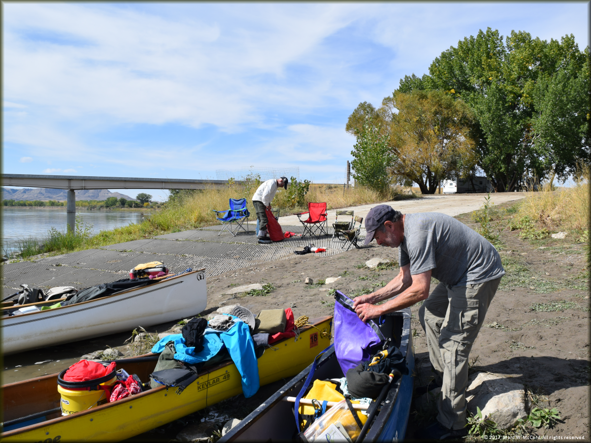
Marc's canoe loaded just before launching on the Upper Missouri River for a 153.68 mile / 10 day trip along the Lewis and Clark Trail
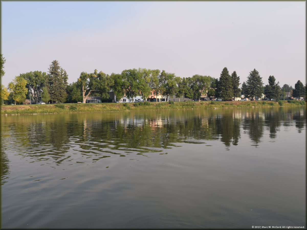
The Town of Fort Benton, Montana on river left just below the launch
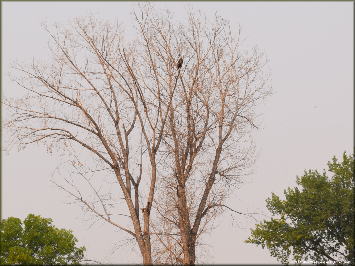
A bald eagle watches from the river bank just below Fort Benton
Darrell Foss and Cliff Jacobson enjoying a lazy Day One
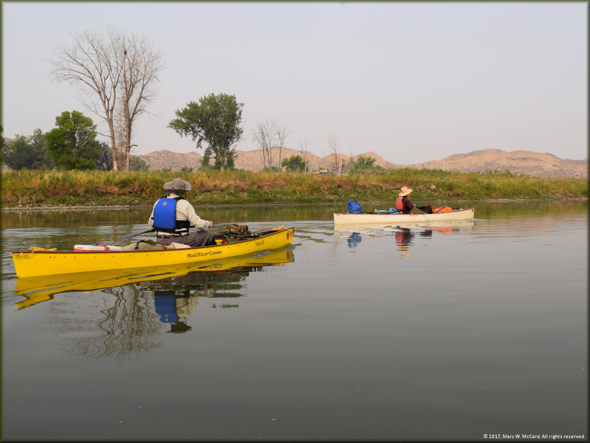
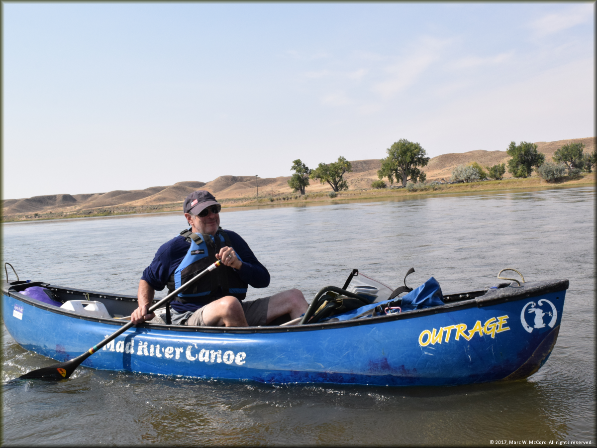
Cliff Jacobson, Larry Rice and Darrell Foss paddling along together on the Lewis and Clark Trail
Jeff Josephs and Larry Rice stopping at Coal Banks Landing
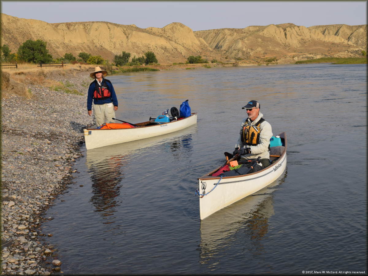
Bob Tucker proving that a whitewater canoe can make a 10-day expedition trip
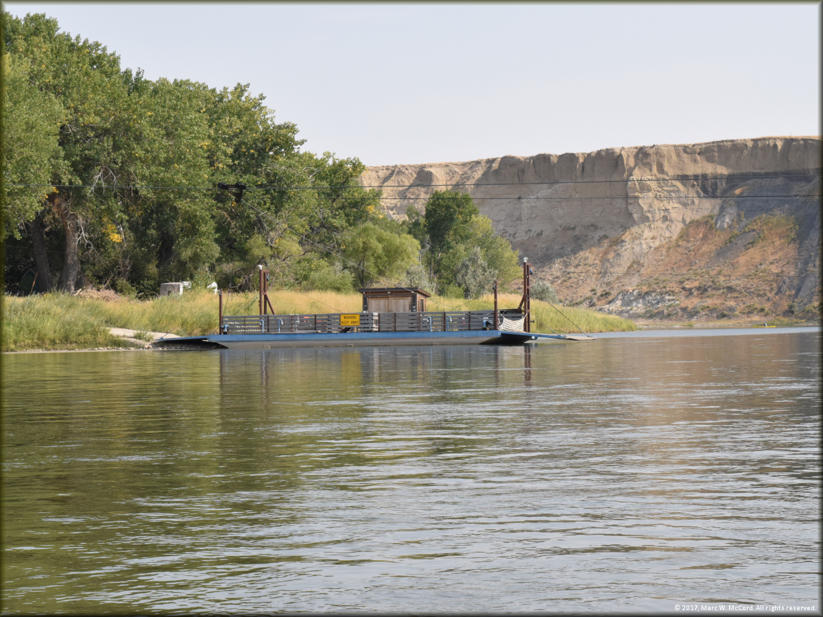
The Virgelle Ferry just below Coal Banks Landing on the Upper Missouri River
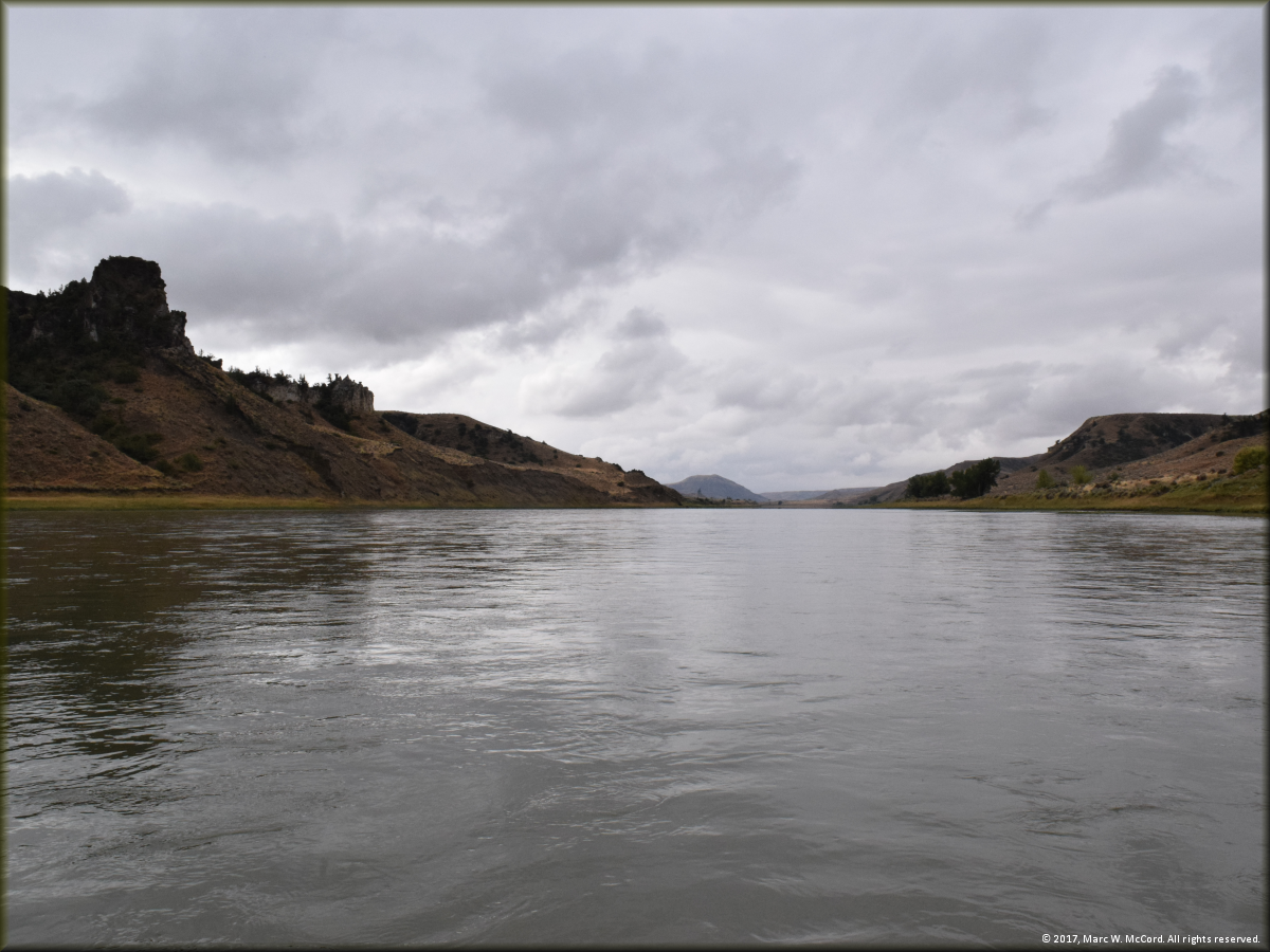
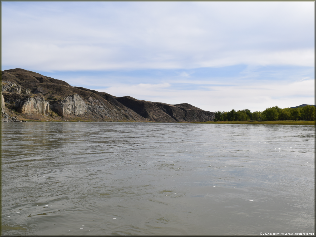
The Upper Missouri River just below the Virgelle Ferry on a cool, overcast day
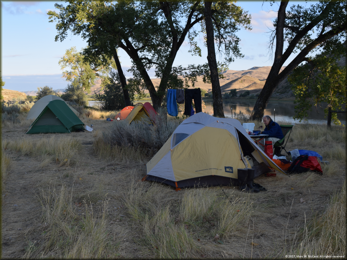
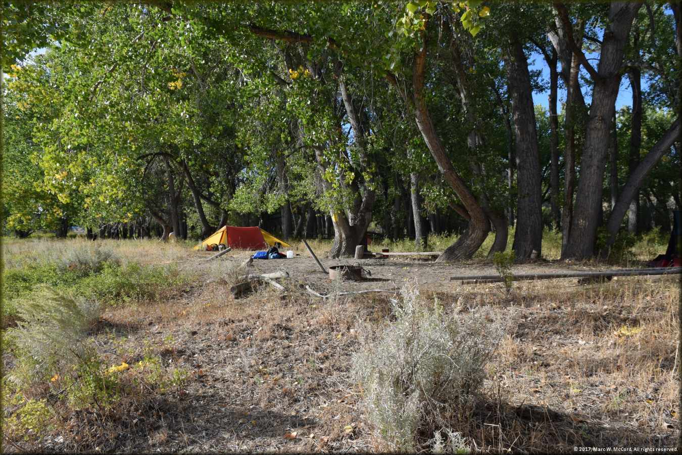
Our Slaughter Creek campsite on the Upper Missouri River in Montana
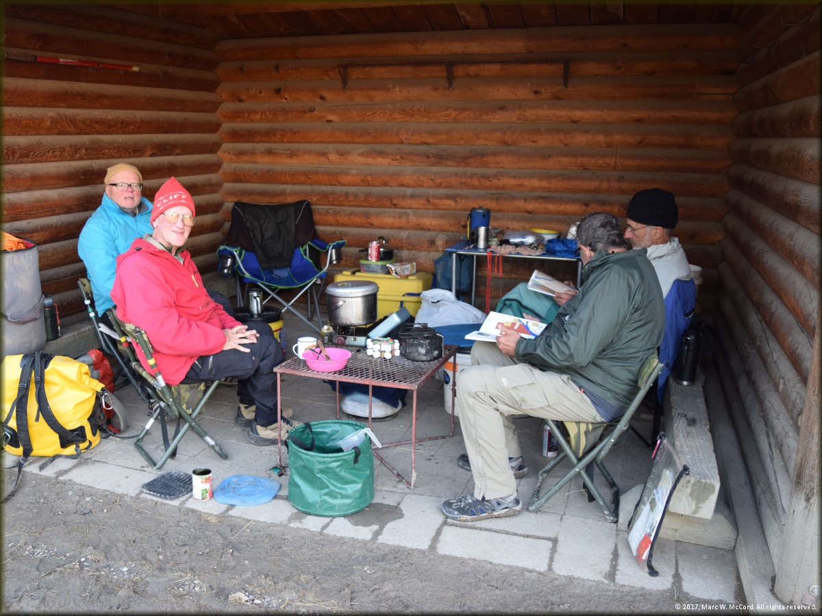
Using the dry shelter at Slaughter Creek to prepare dinner and get out of the rain
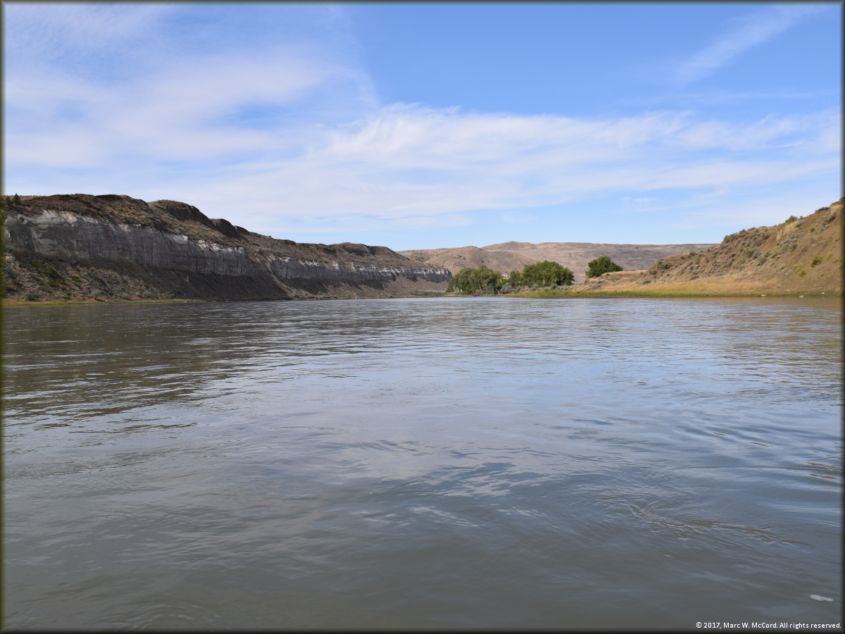
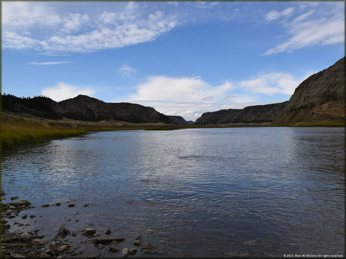
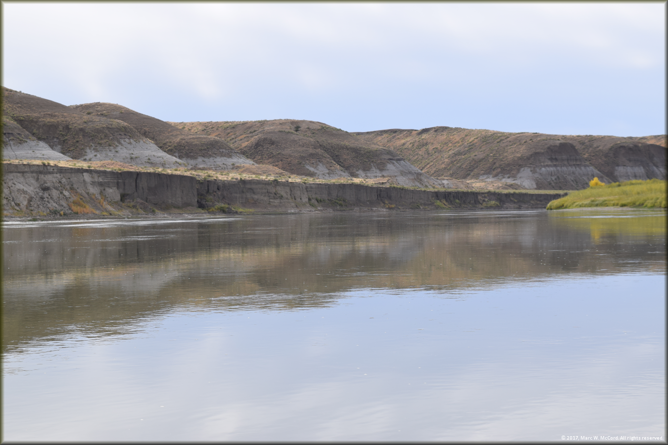
The Upper Missouri River between Slaughter Creek and McGarry Bar
The Upper Missouri River between Slaughter Creek and McGarry Bar
The Upper Missouri River between Slaughter Creek and McGarry Bar
Stopping for lunch on the boat ramp at Judith Landing
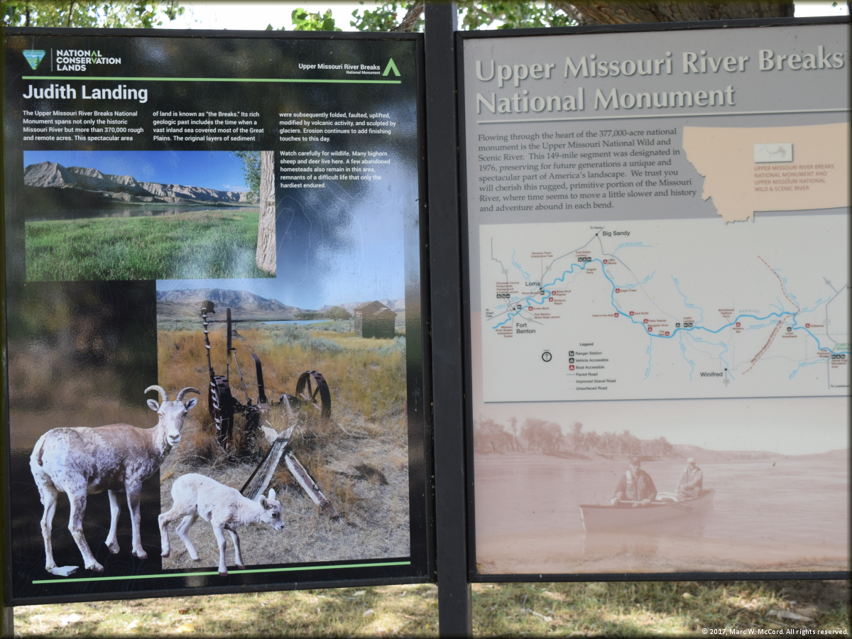
Informational signage at Judith Landing
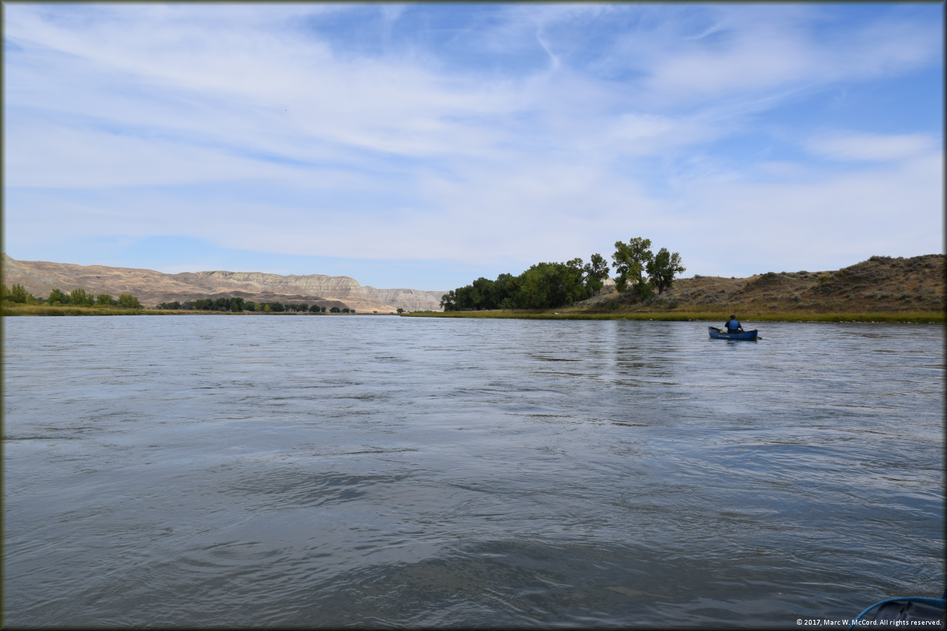
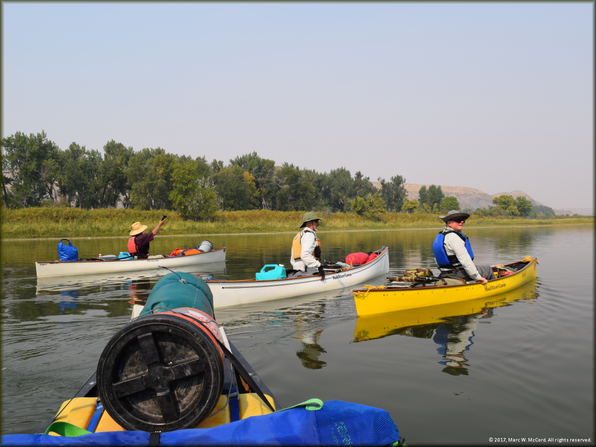
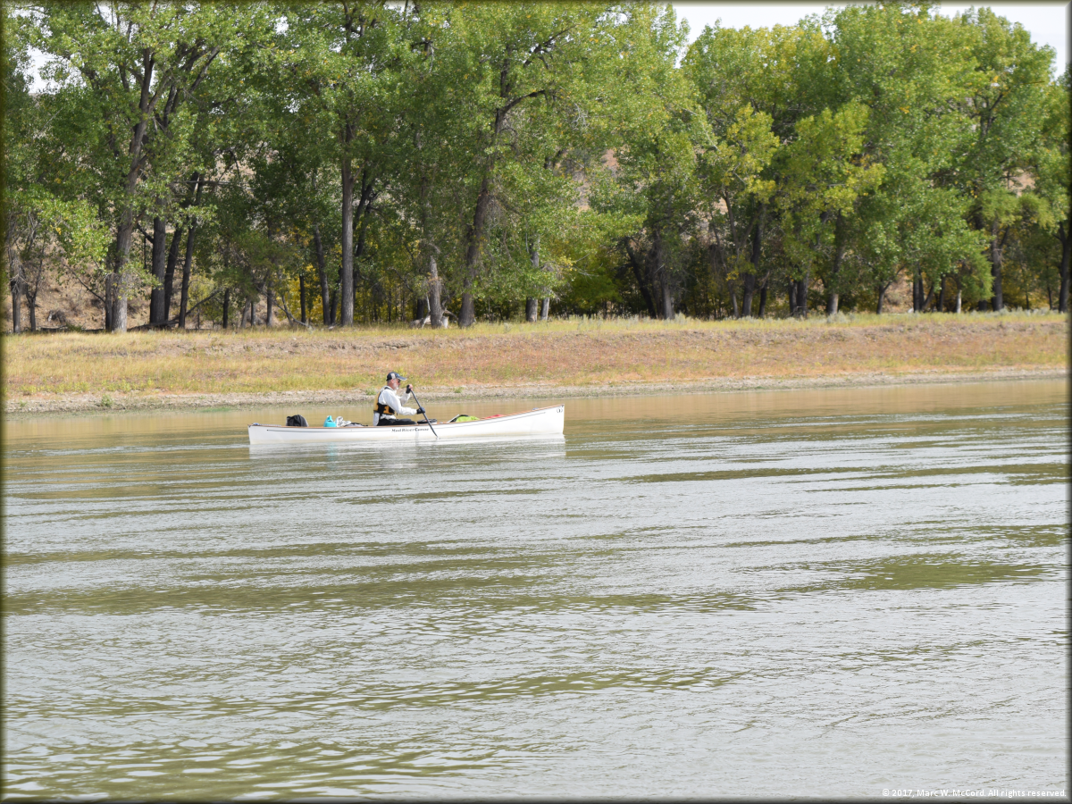
Bob Tucker paddling between Judith Landing and McGarry Bar
The river right bank a little above McGarry Bar
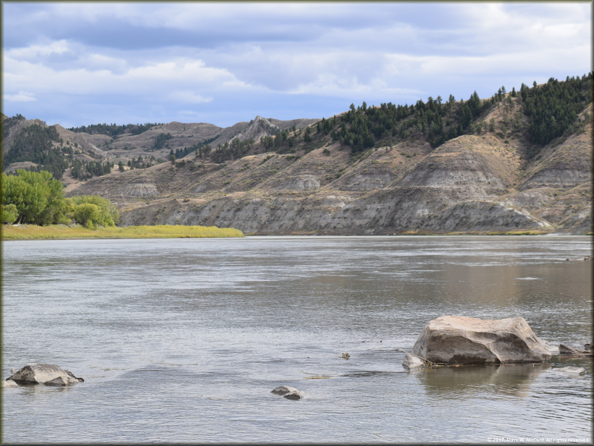
The beautiful Upper Missouri River approaching McGarry Bar
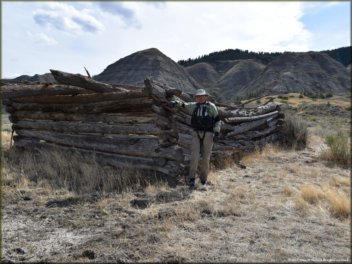
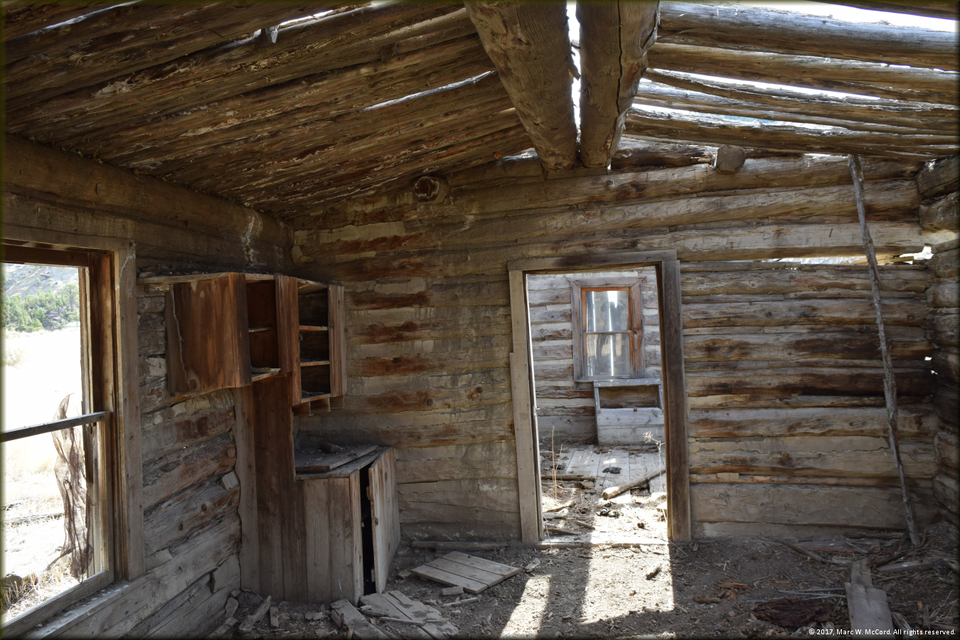
Marc McCord at an old homestead site below McGarry Bar
Bob Tucker checking out an old homestead site below McGarry Bar
It appears that nobody is living here now! ROTFLMAO!
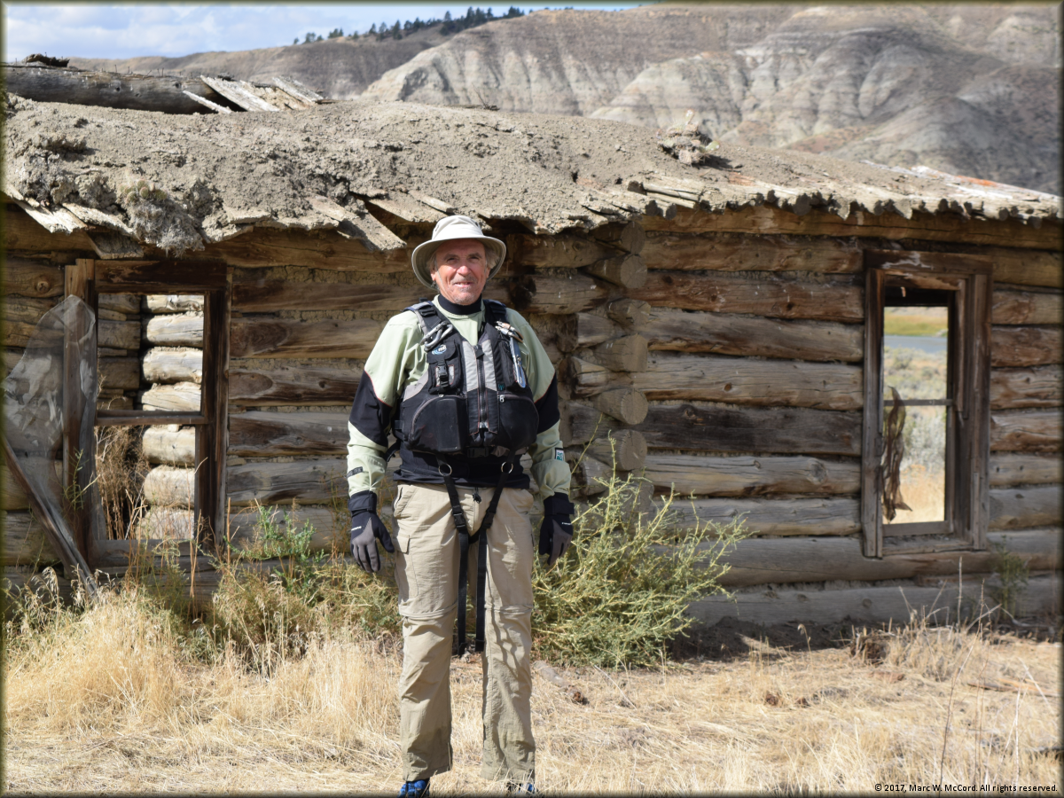
Marc McCord at the first of several old homesteads we visited on this trip
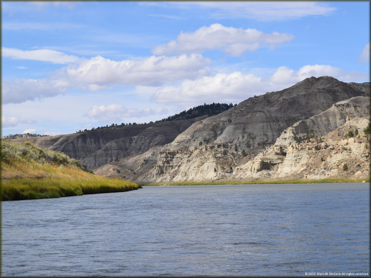
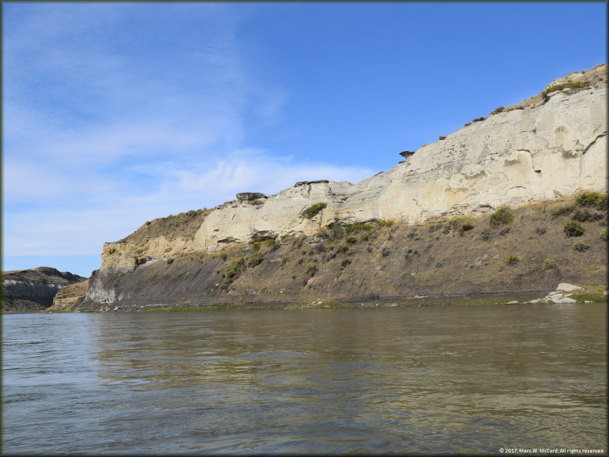
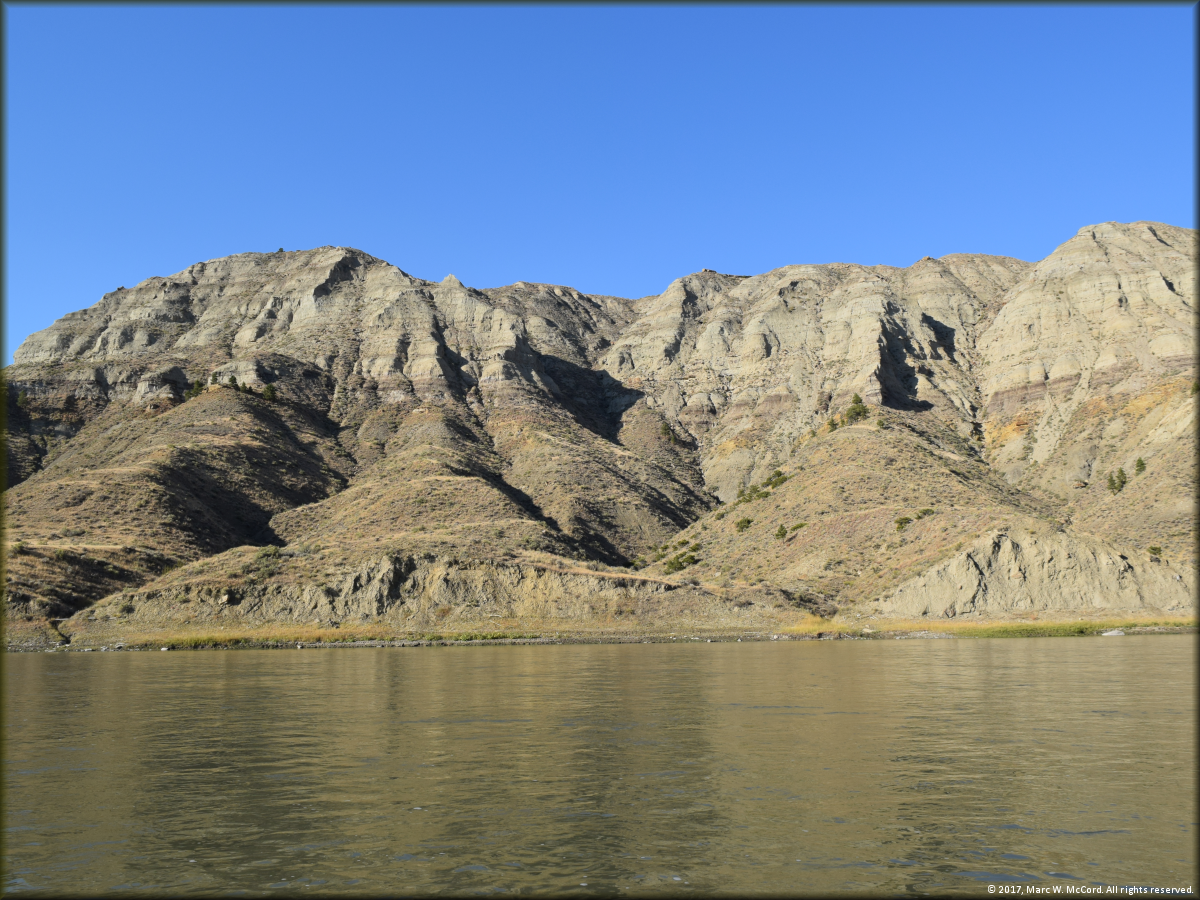
The White Cliffs section of the Missouri Breaks
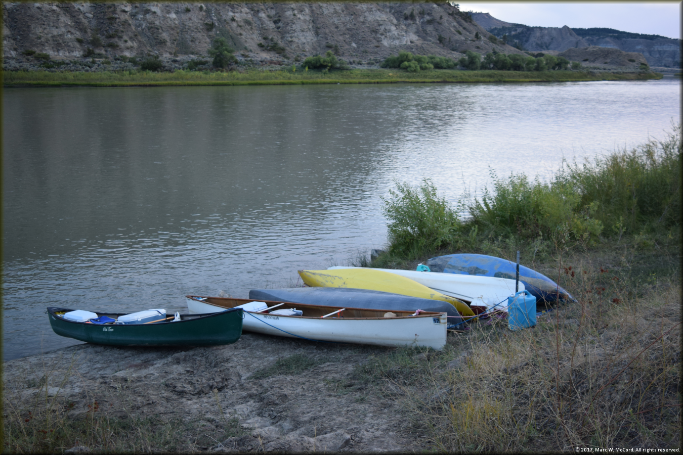
Our canoes tied up at our Gist Bottom campsite on the eighth day of our trip
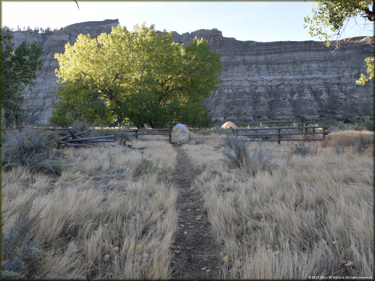
Looking toward the river at our Gist Bottom campsite

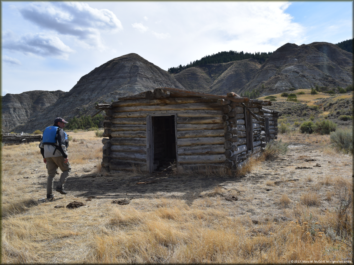
One of the ruins at the old homestead at our Gist Bottom campsite
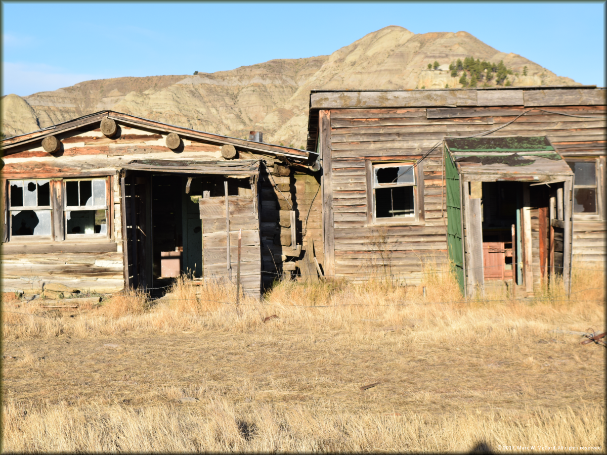
More of the ruins at the old homestead at our Gist Bottom campsite
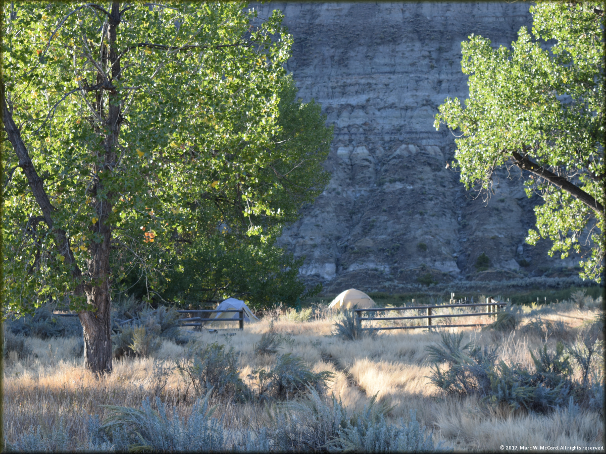
Our campsite at Gist Bottom looking toward the river
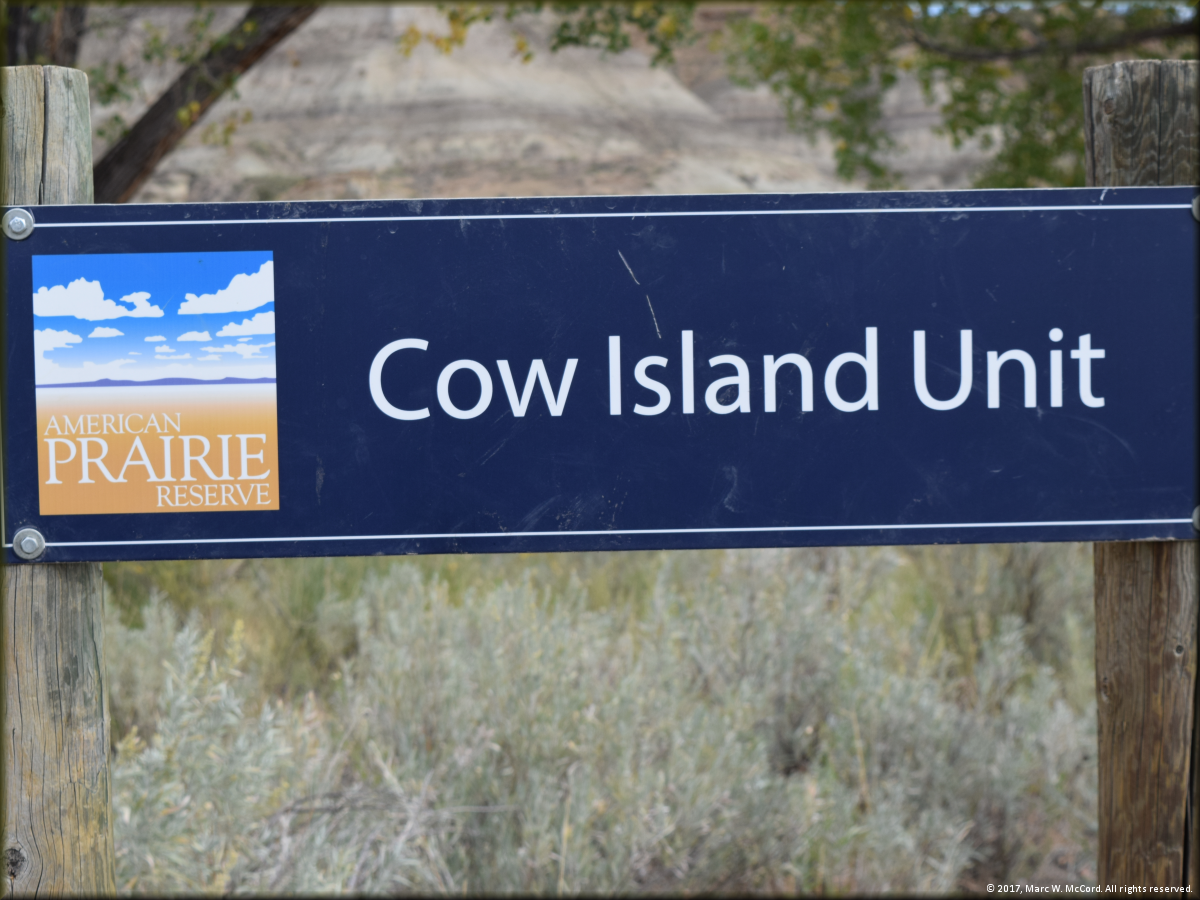
Cow Island Unit - another old homestead site we visited
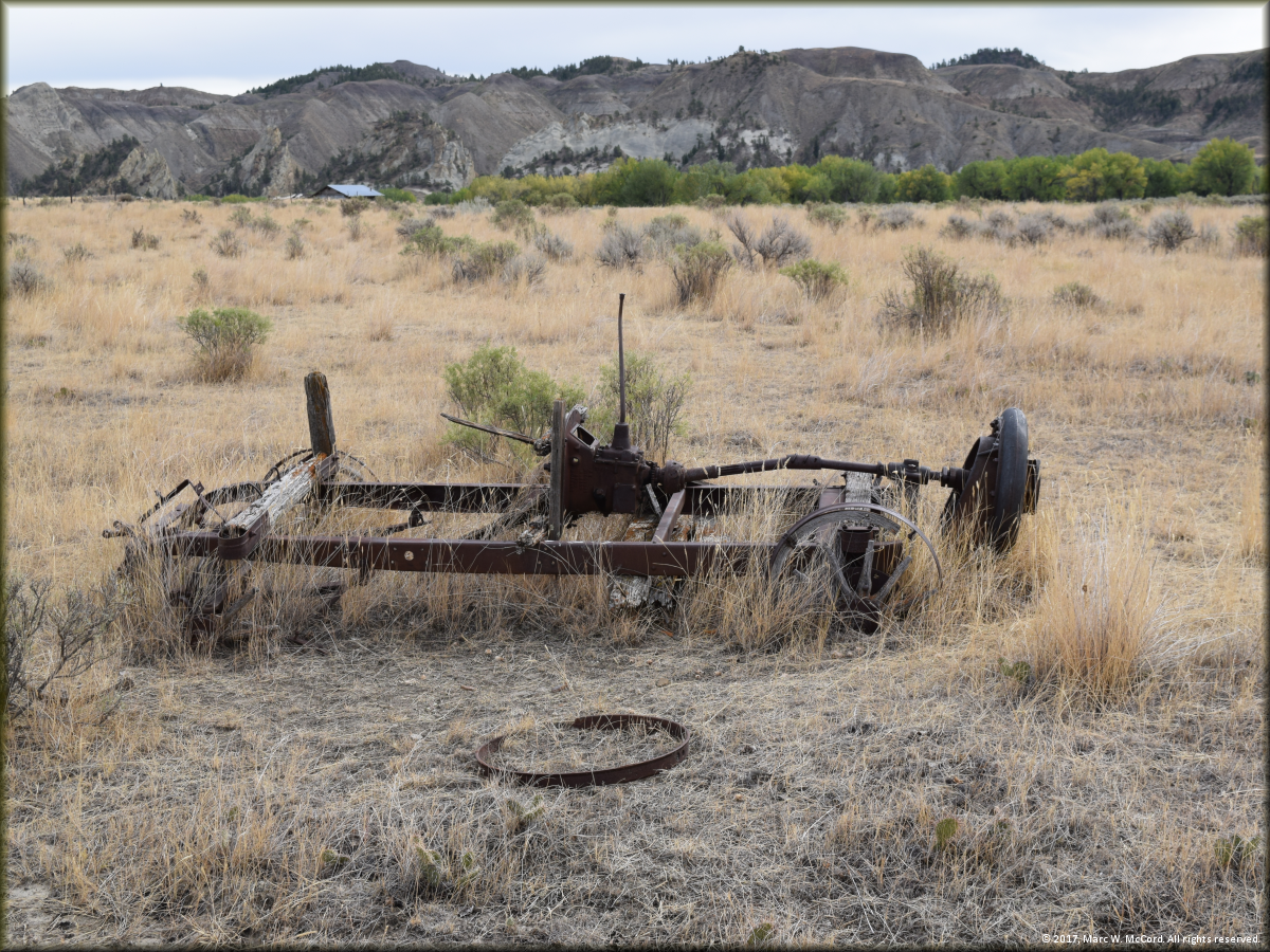
Cow Island Unit - it appears this vehicle has not been driven recently and may need some repairs
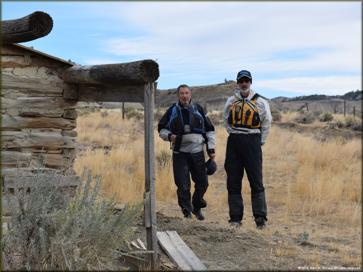
Bob Tucker and Larry Rice at the Cow Island Unit homestead site
Larry Rice paddling by a Lewis and Clark historical campsite on river left
The Upper Missouri River approaching Hideaway Camp, our last campsite above the James Kipp Recreation Area
Hideaway Camp, our last campsite above the James Kipp Recreation Area
The Upper Missouri River just above the James Kipp Recreation Area
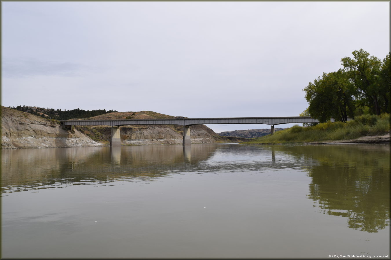
The Fred Robinson Bridge on US Highway 191 just above the James Kipp Recreation Area boat ramp
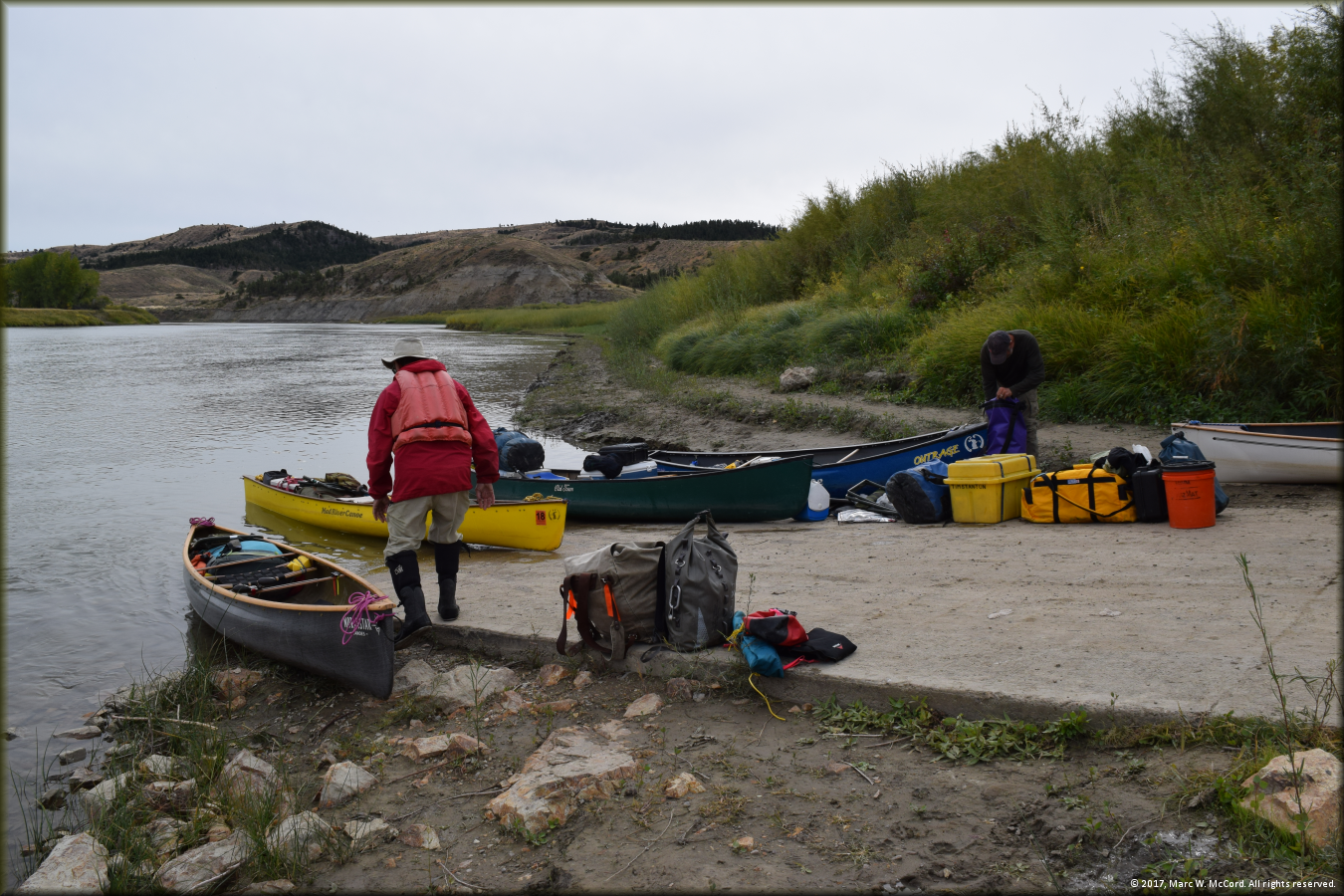
Our take-out at the James Kipp Recreation Area boat ramp
|

Copyright © 1997-2018, Marc W. McCord dba CobraGraphics. All rights reserved. Southwest Paddler, CobraGraphics and Canoeman River Guide Services are exclusive tradenames and trademarks of Marc W. McCord dba CobraGraphics. The textual, graphic, audio, and audio/visual material in this site is protected by United States copyright law and international treaties. You may not copy, distribute, or use these materials except for your personal, non-commercial use. Any trademarks are the property of their respective owners. All original photographs on this web site are the exclusive property of Marc W. McCord or other designated photographers and may not be copied, duplicated, reproduced, distributed or used in any manner without prior written permission under penalty of US and International laws and treaties.
Last updated November 26, 2017 | |