 |


 |
|
<previous
next>
view
play
stop
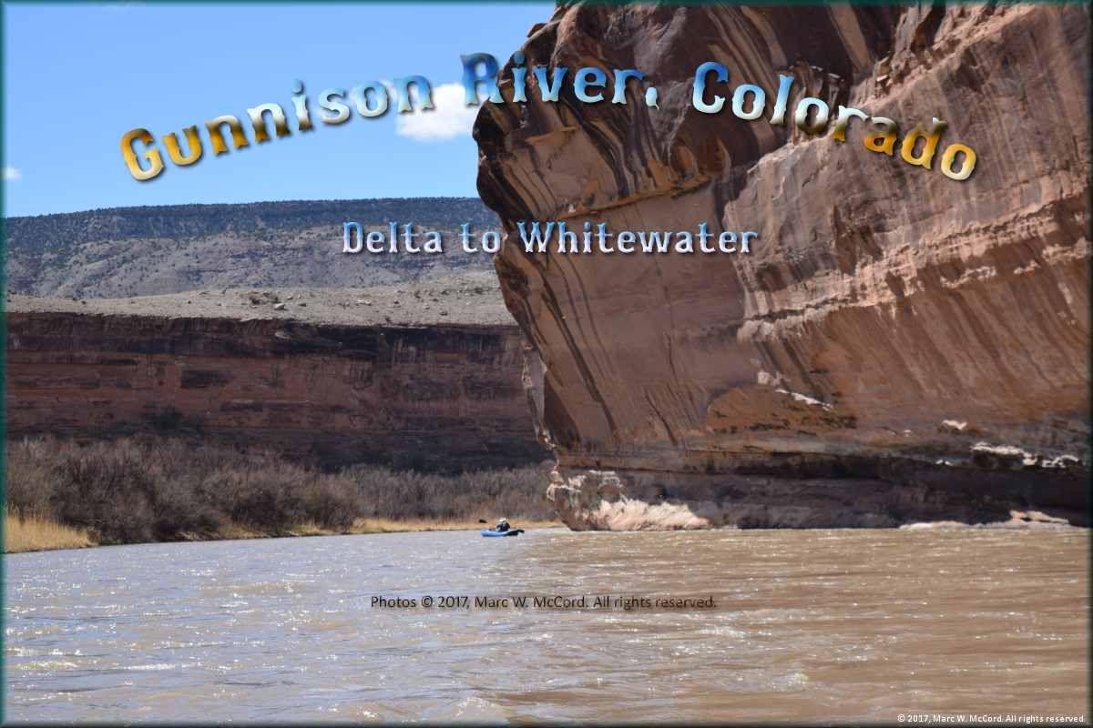
Gunnison River, Colorado - Delta Access
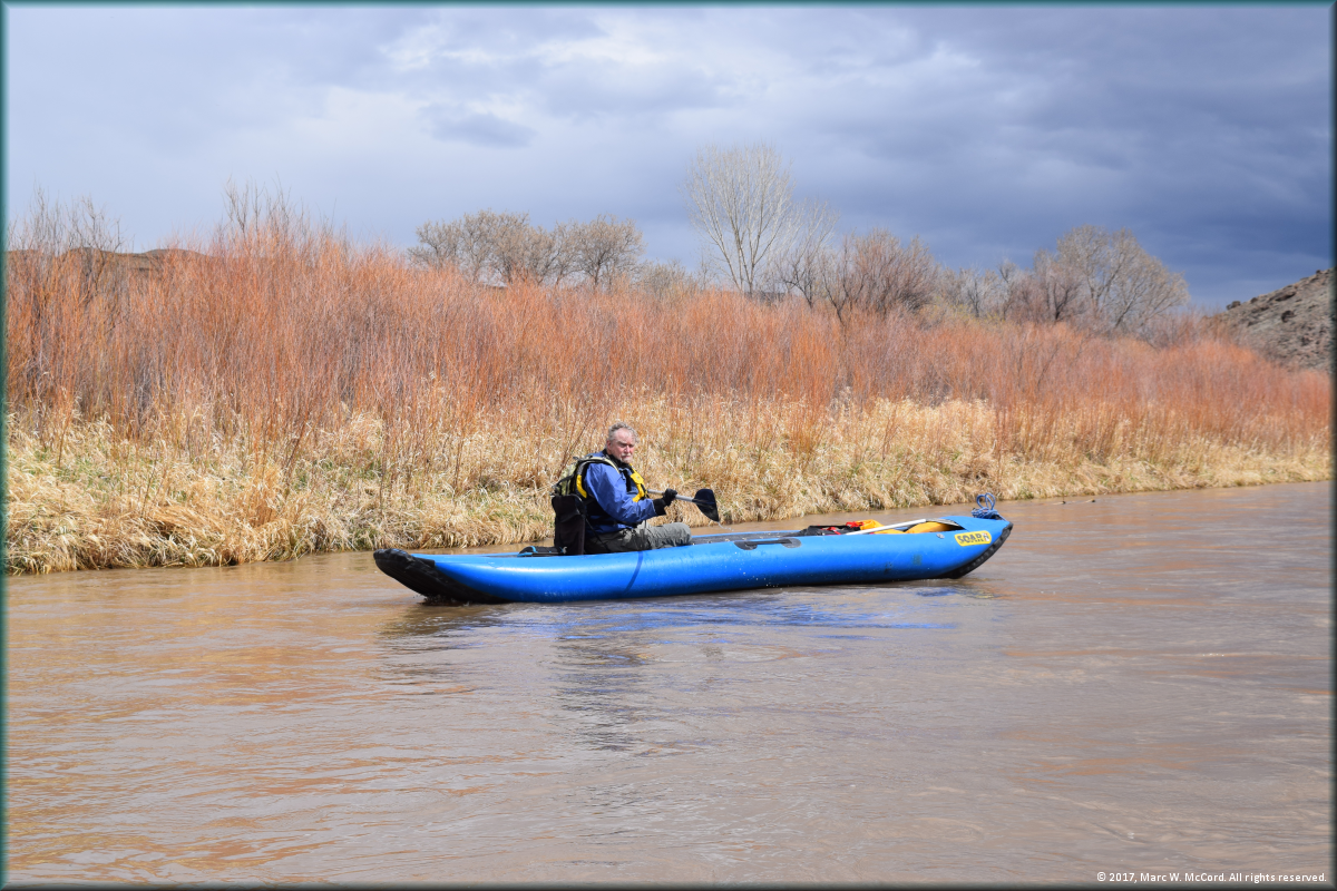
Tom Taylor in his SOAR S16 Inflatable Canoe at the Delta Access
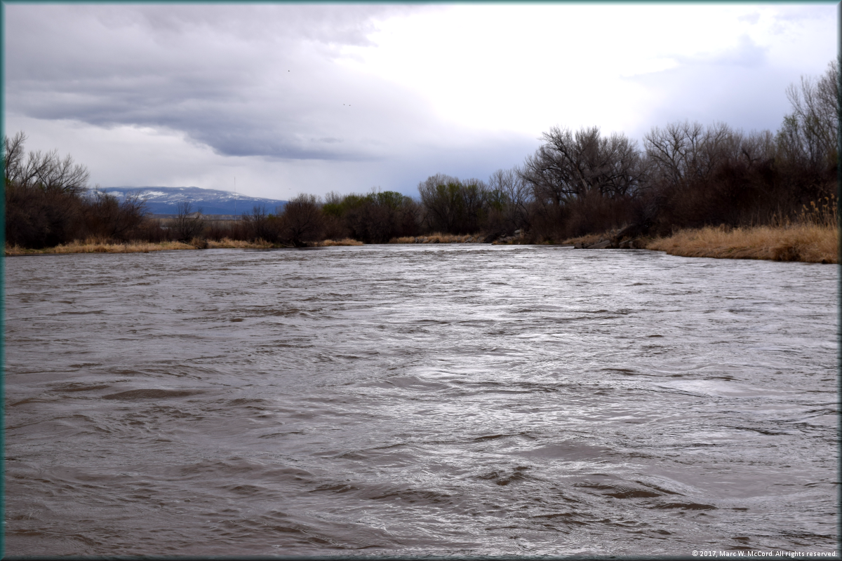
Leaving Delta for Whitewater
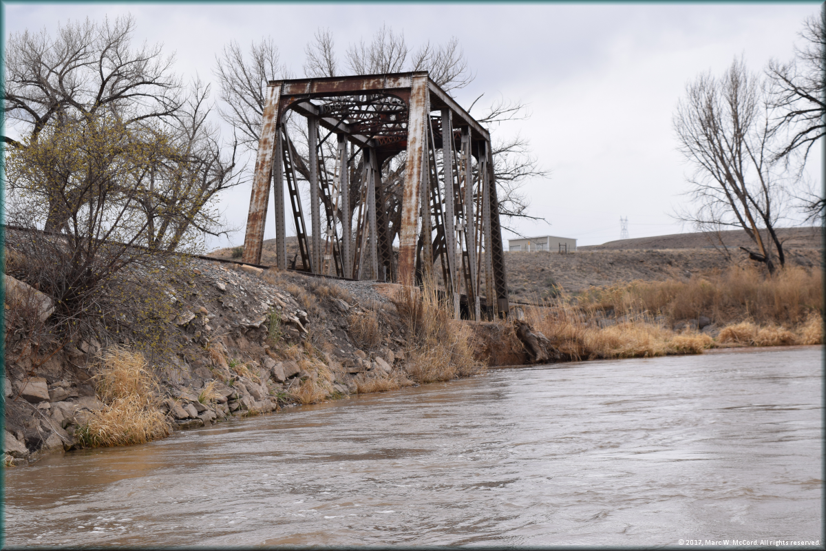
An old railroad trestle just below Delta, Colorado
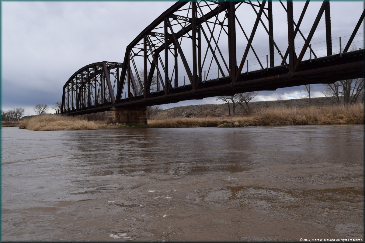
A railroad trestle over the Gunnison River below Delta, Colorado
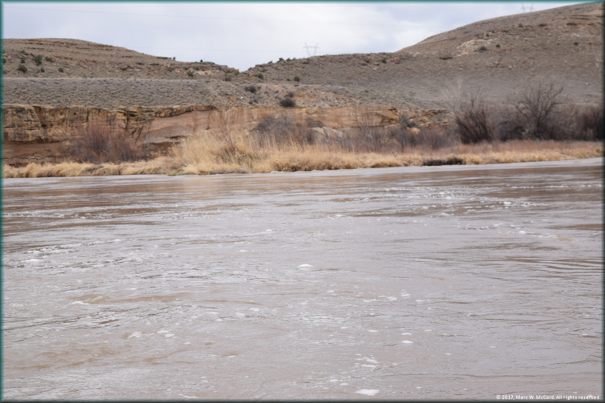
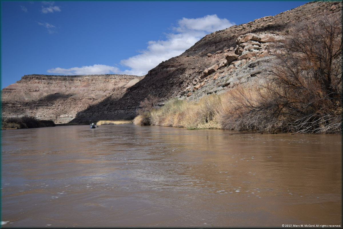
Small rapids and short cliffs adorn the Gunnison River below Delta, Colorado
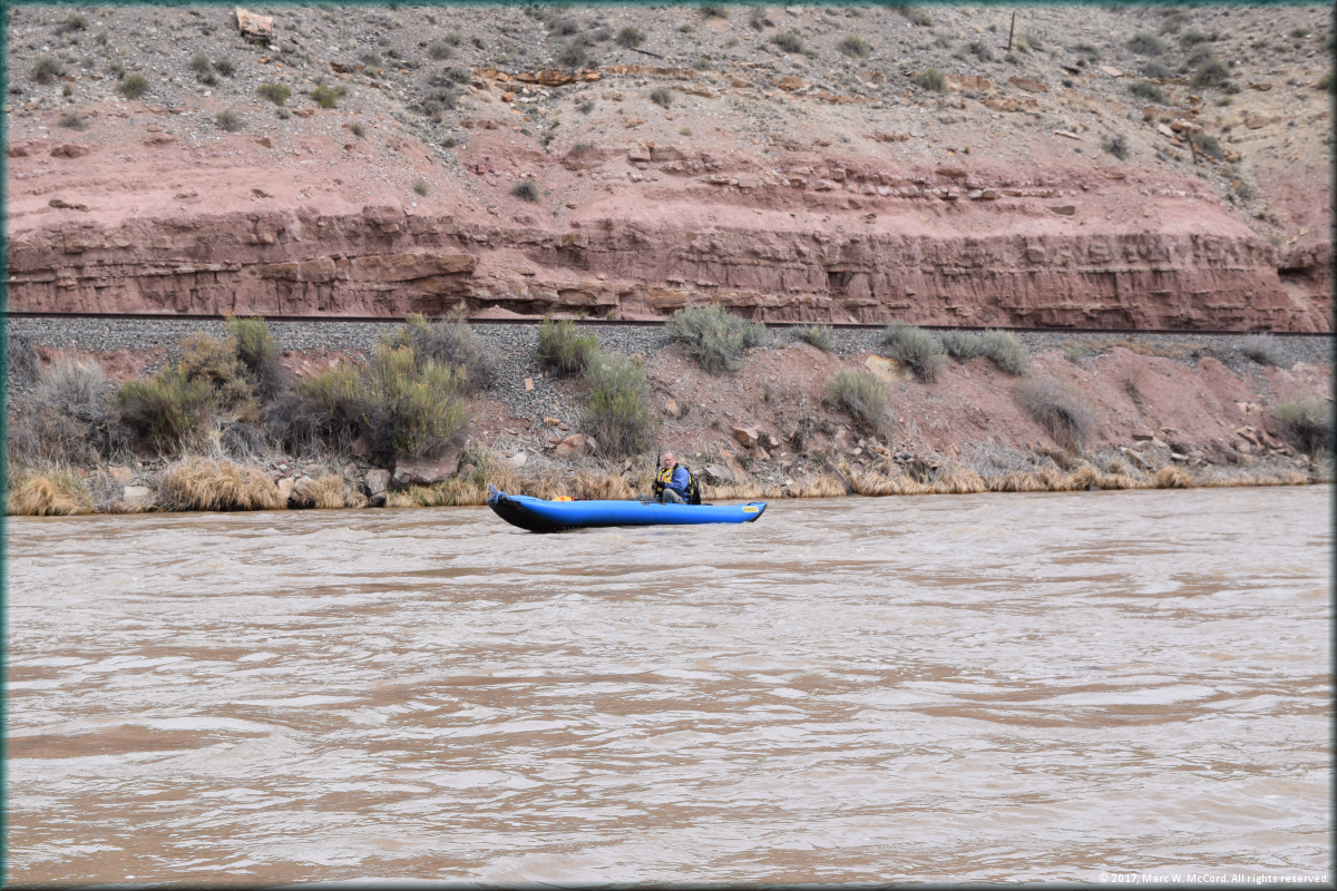
Tom Taylor cruising down the Gunnison River below Delta, Colorado
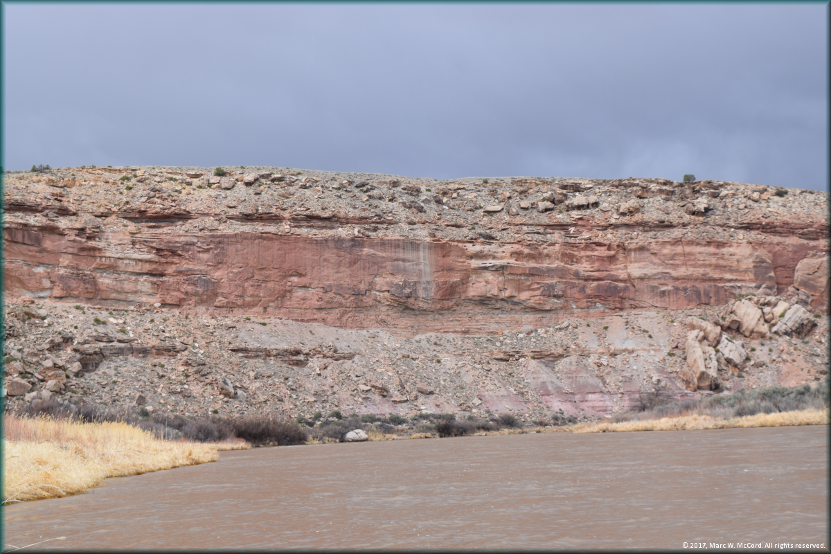
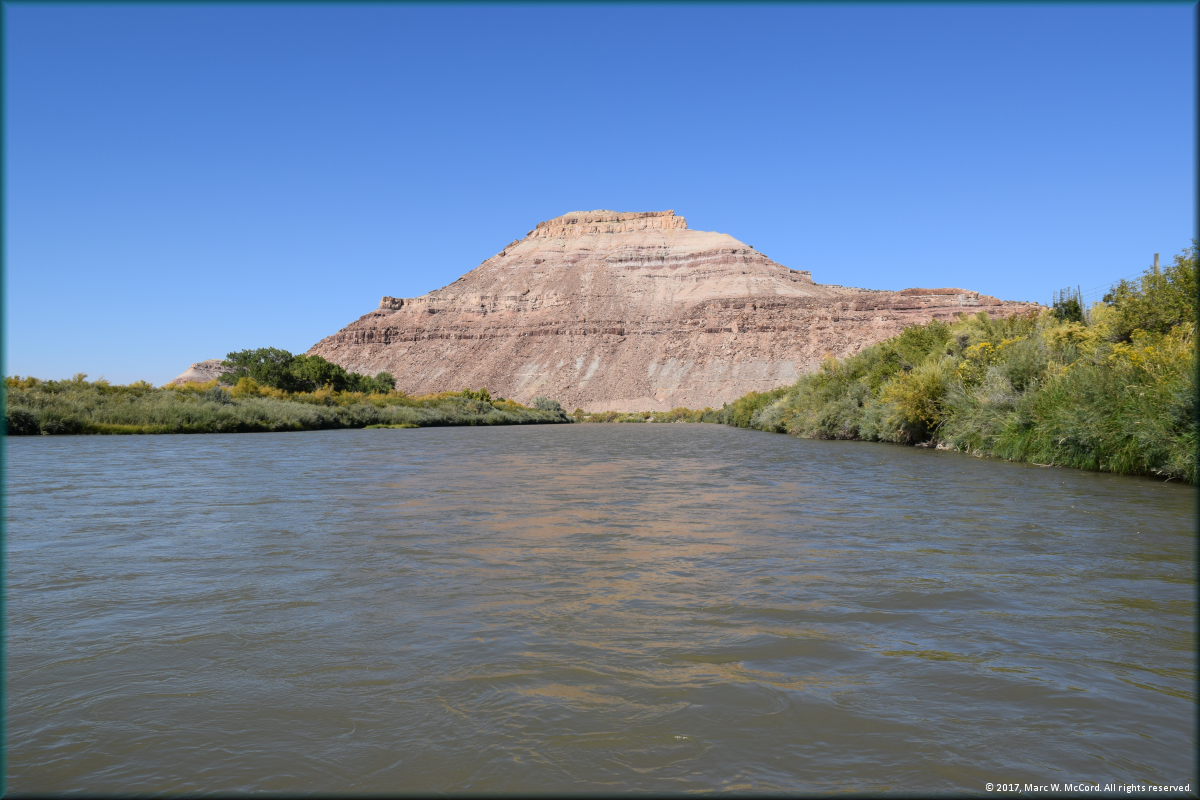
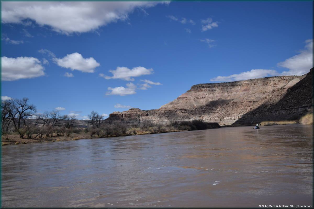
The rock formations on the Gunnison River are beautiful and colorful
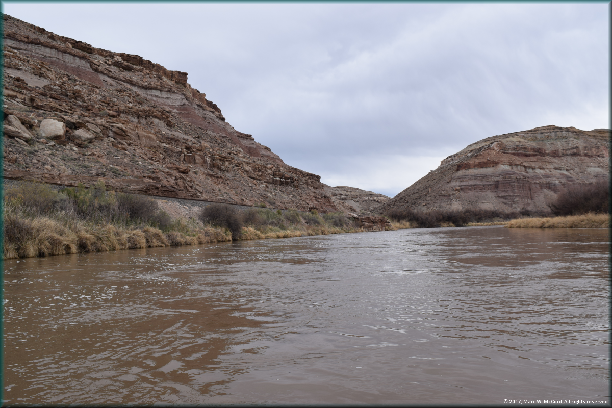
Most of this run is placid at moderately low flow levels
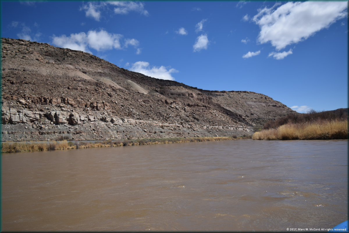
Another bend in the river
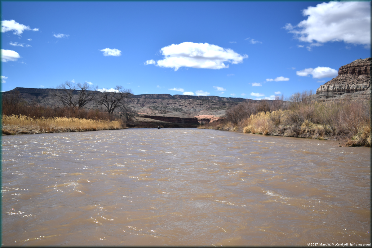
Tom Taylor paddling on a cool, overcast day
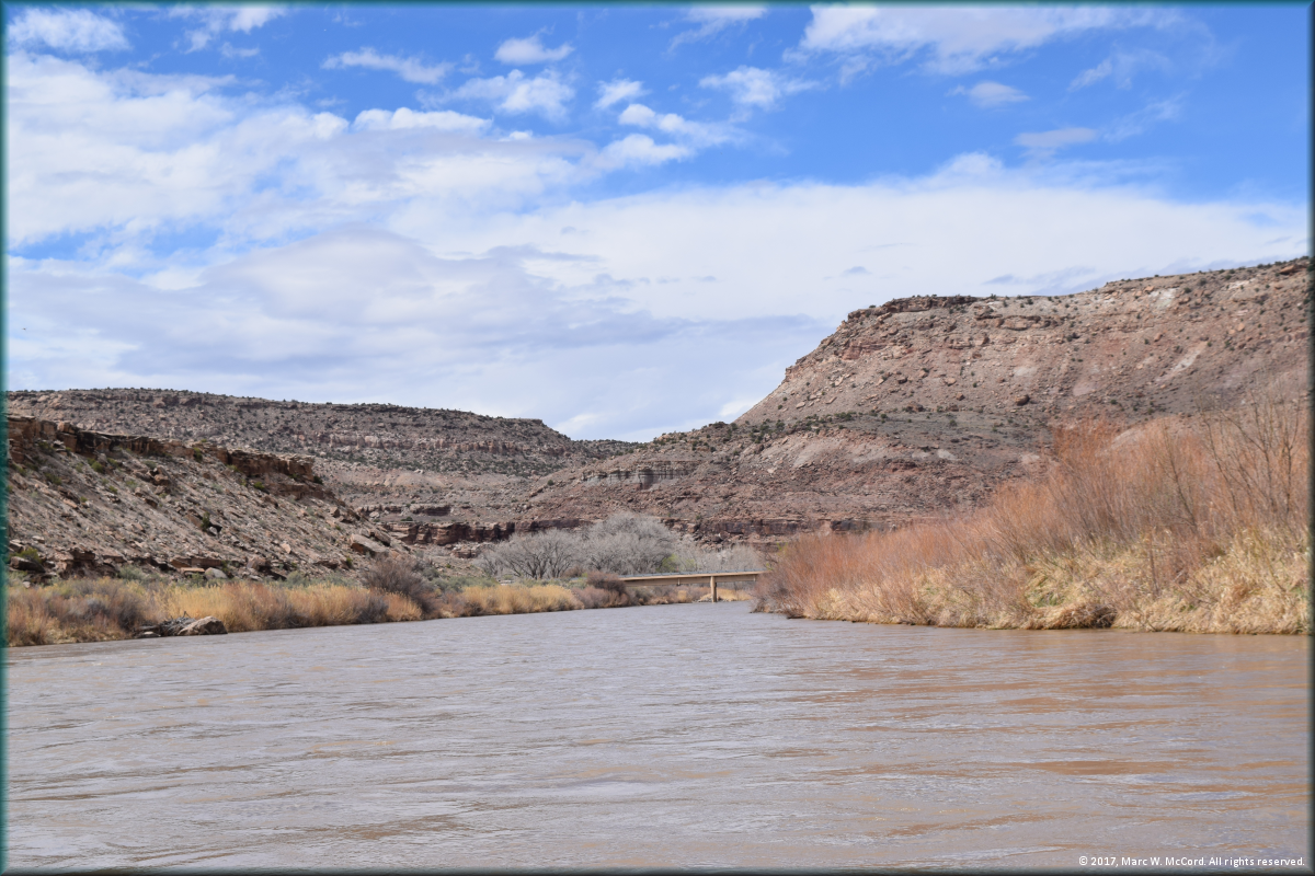
650 Road Bridge at the Escalante Canyon Access
650 Road Bridge at the Escalante Canyon Access
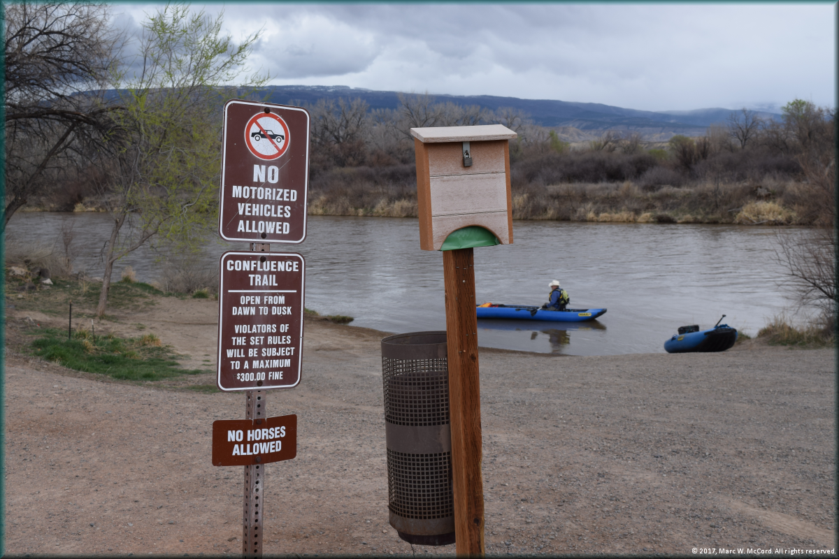
Escalante Canyon Access
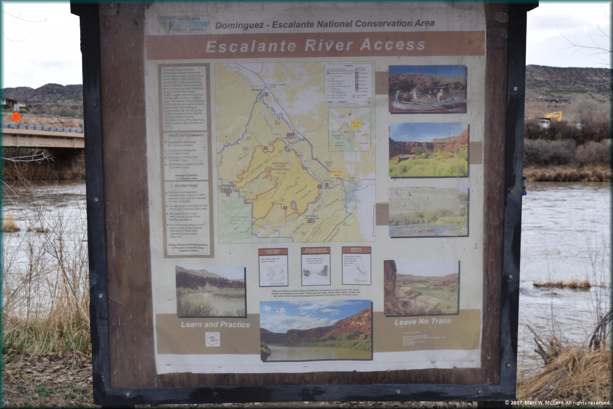
Escalante Canyon Access information sign
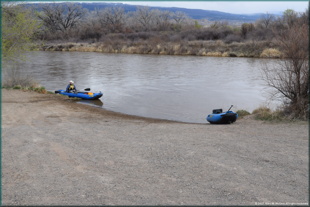
Leaving Escalante Canyon Access for Bridgeport
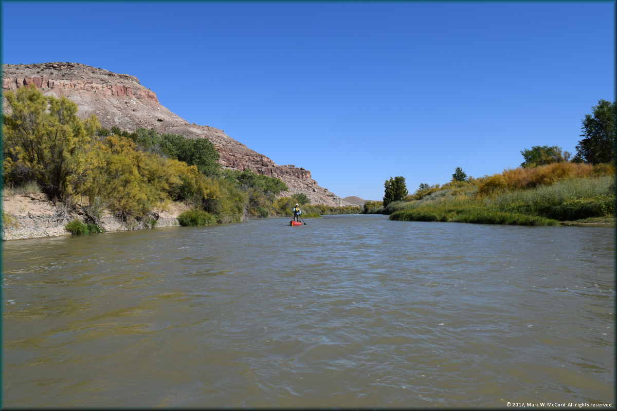
Tom Taylor paddling his canoe between Escalante Canyon Access and Bridgeport
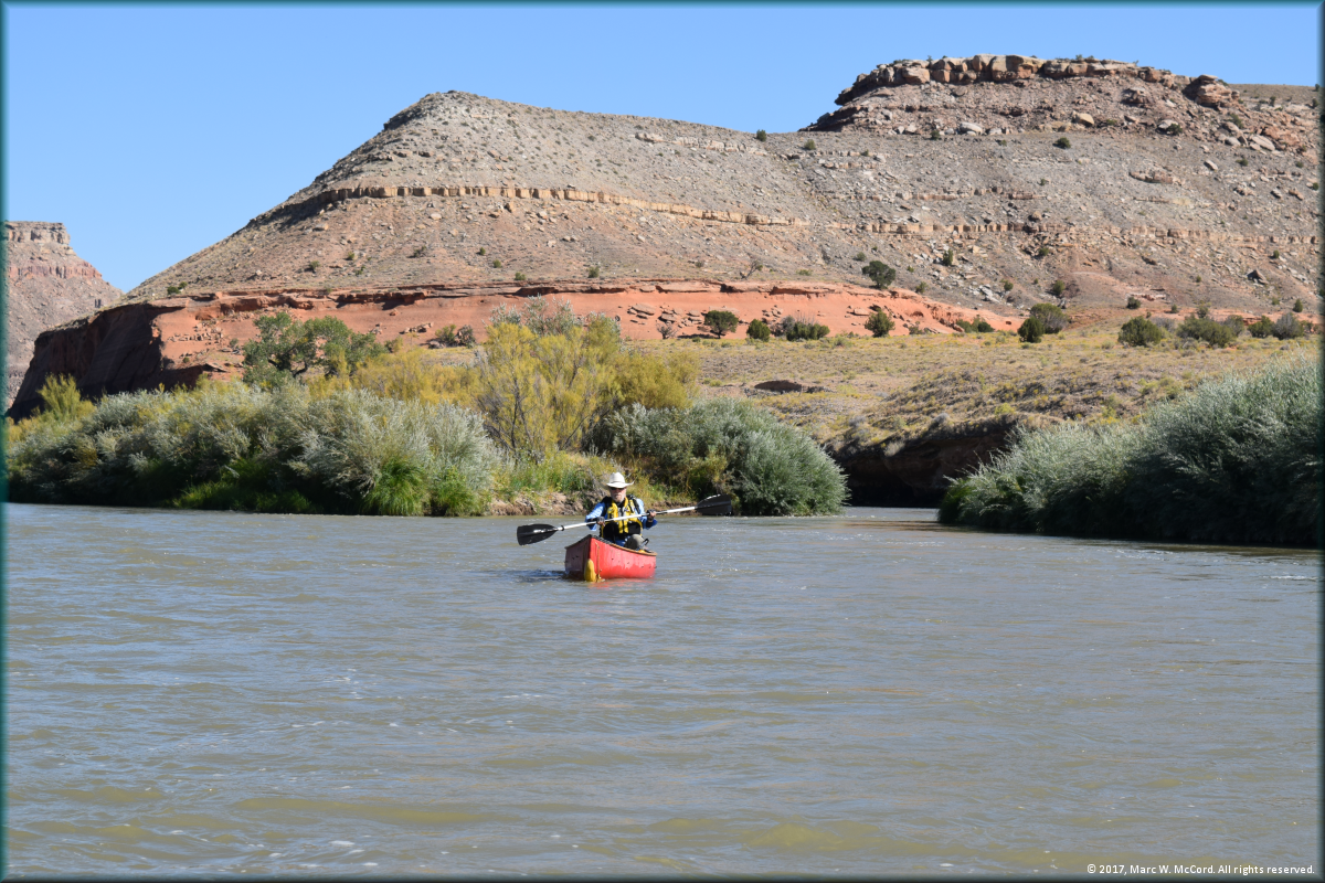
Tom Taylor paddling his canoe between Escalante Canyon Access and Bridgeport
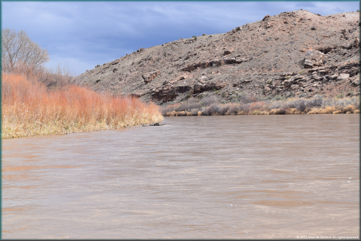
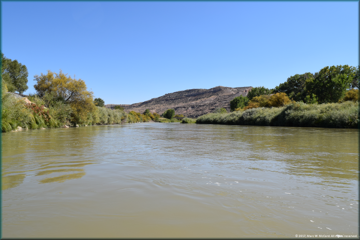
The scenic Gunnison River between Escalante Canyon Access and Bridgeport
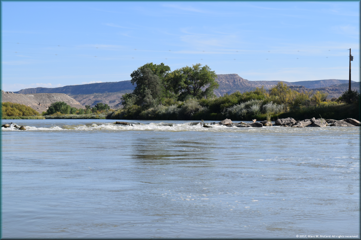
A small ledge drop about 21.4 miles below Confluence Park in Delta
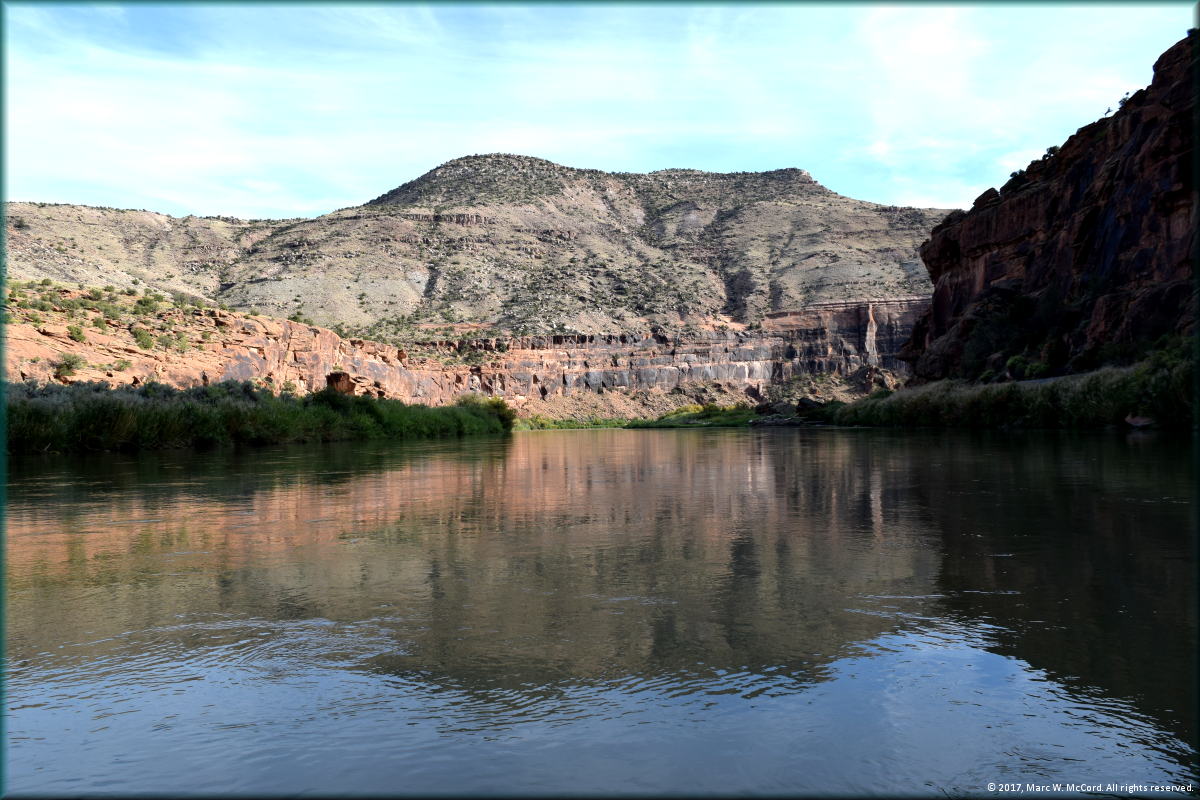
The gorgeous Dominguez Canyon below Escalante Canyon Access
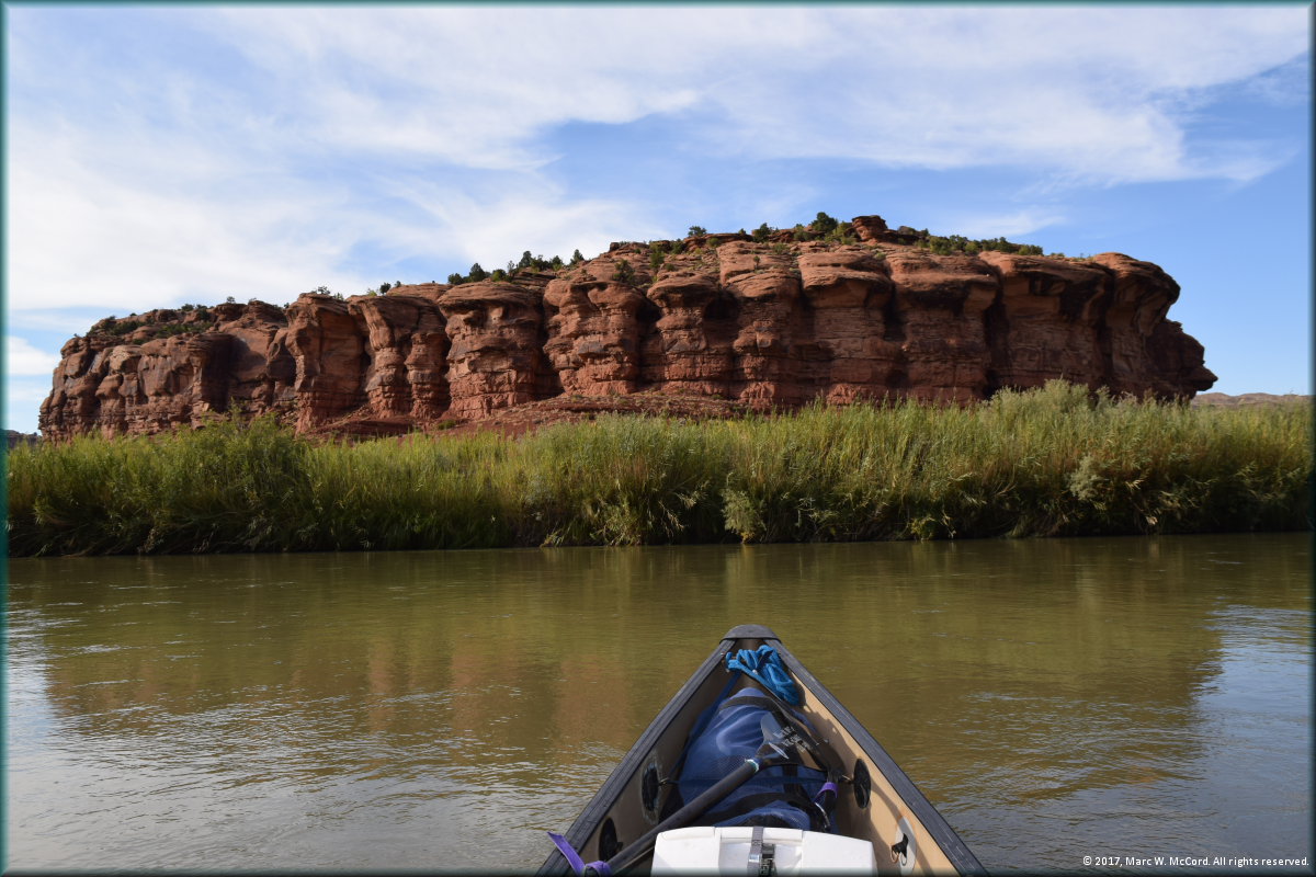
Another beautiful rock formation in Dominguez Canyon
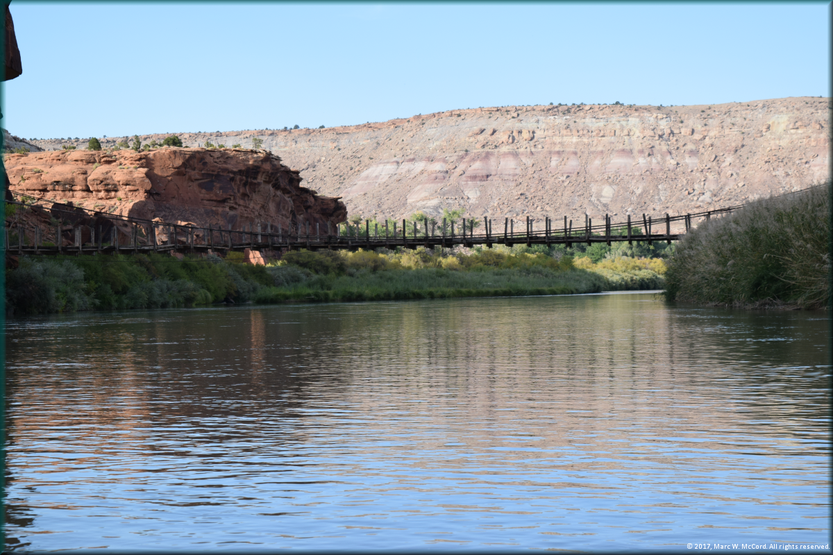
Foot bridge at 27.8 miles below Confluence Park in Delta
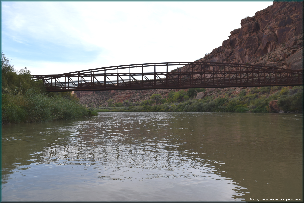
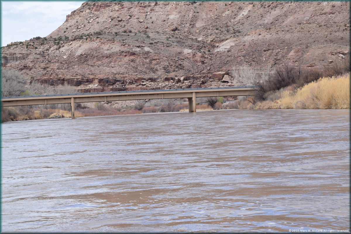
Bridge signaling the approach to Bridgeport Access on river right
Bridgeport Access on river right in just ahead
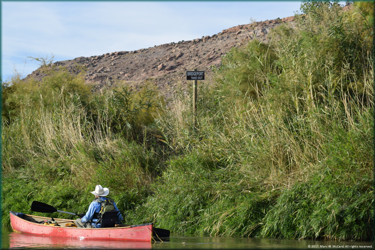
There really is an access point here!
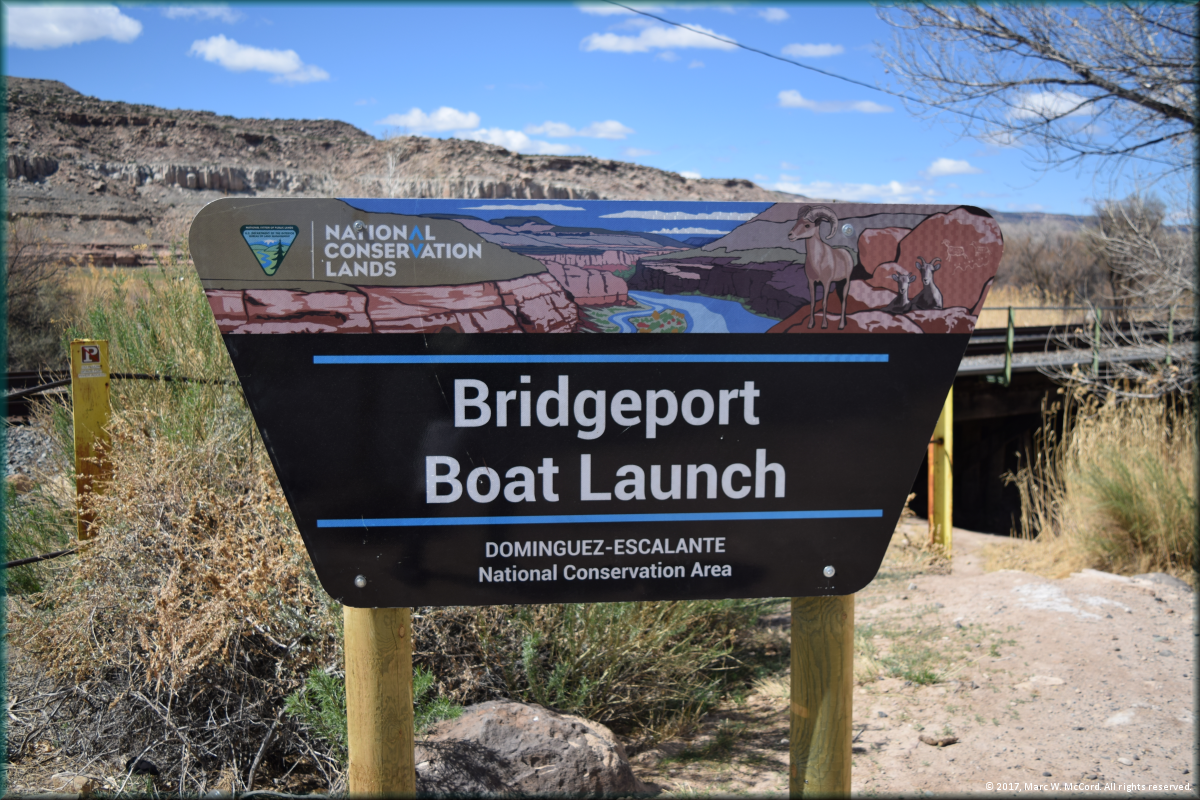
Sign in the Bridgeport Access parking lot
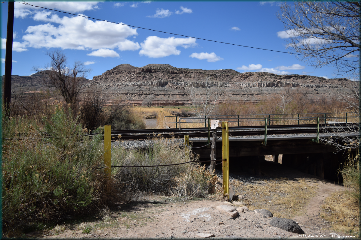
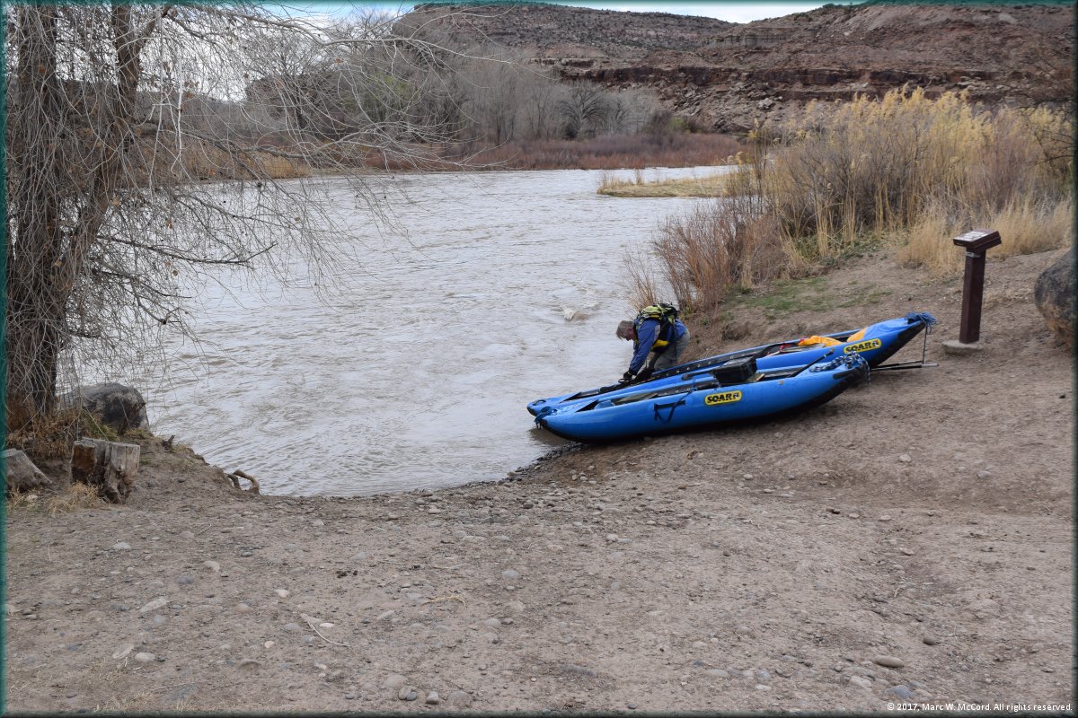
The Bridgeport Access is from under the railroad bridge
The Bridgeport Access is not the nicest or easiest access, but it works
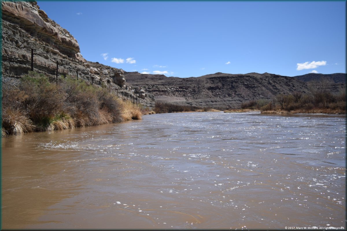
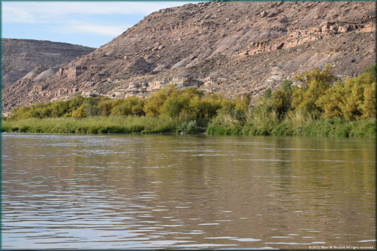
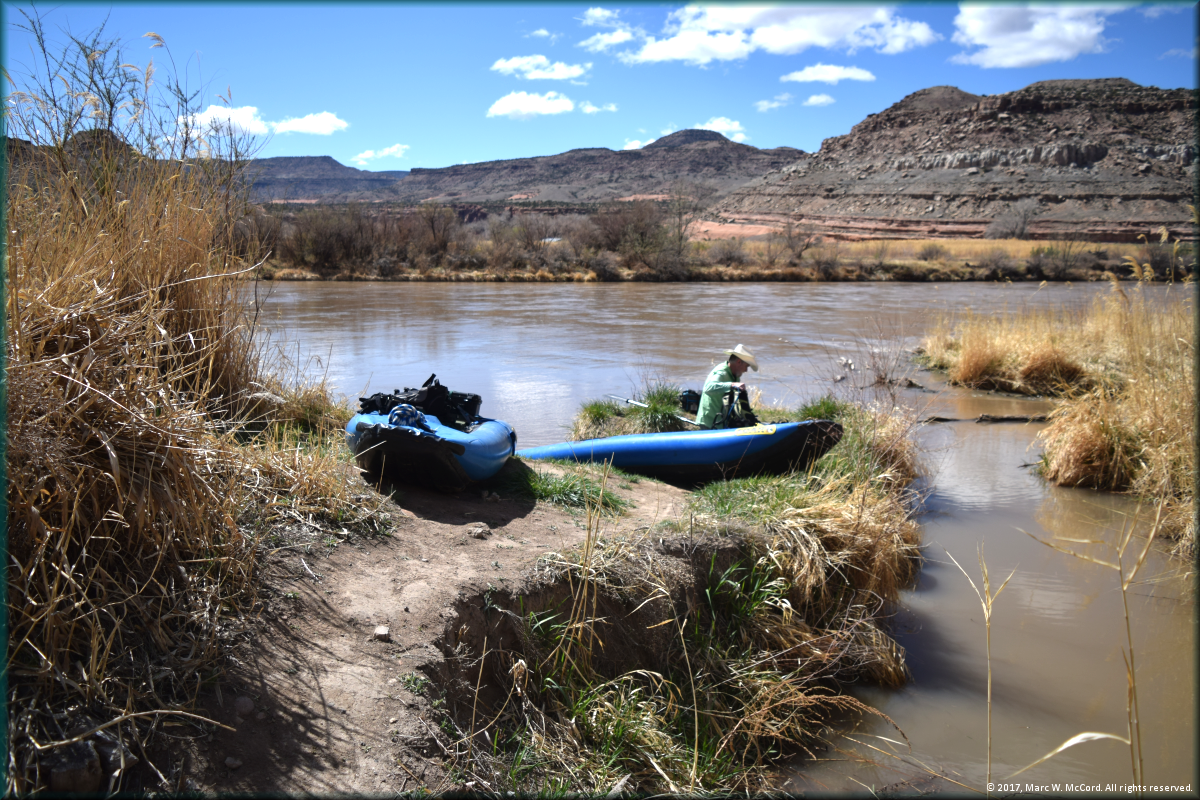
The Gunnison River just below the Bridgeport Access
The Gunnison River just below the Bridgeport Access
Tom Taylor paddling down the Gunnison River on his way to Whitewater Access
Nearing Whitewater Access the hills are smaller and the land along the river is more open
The vistas are still spectacular on the Lower Gunnison River
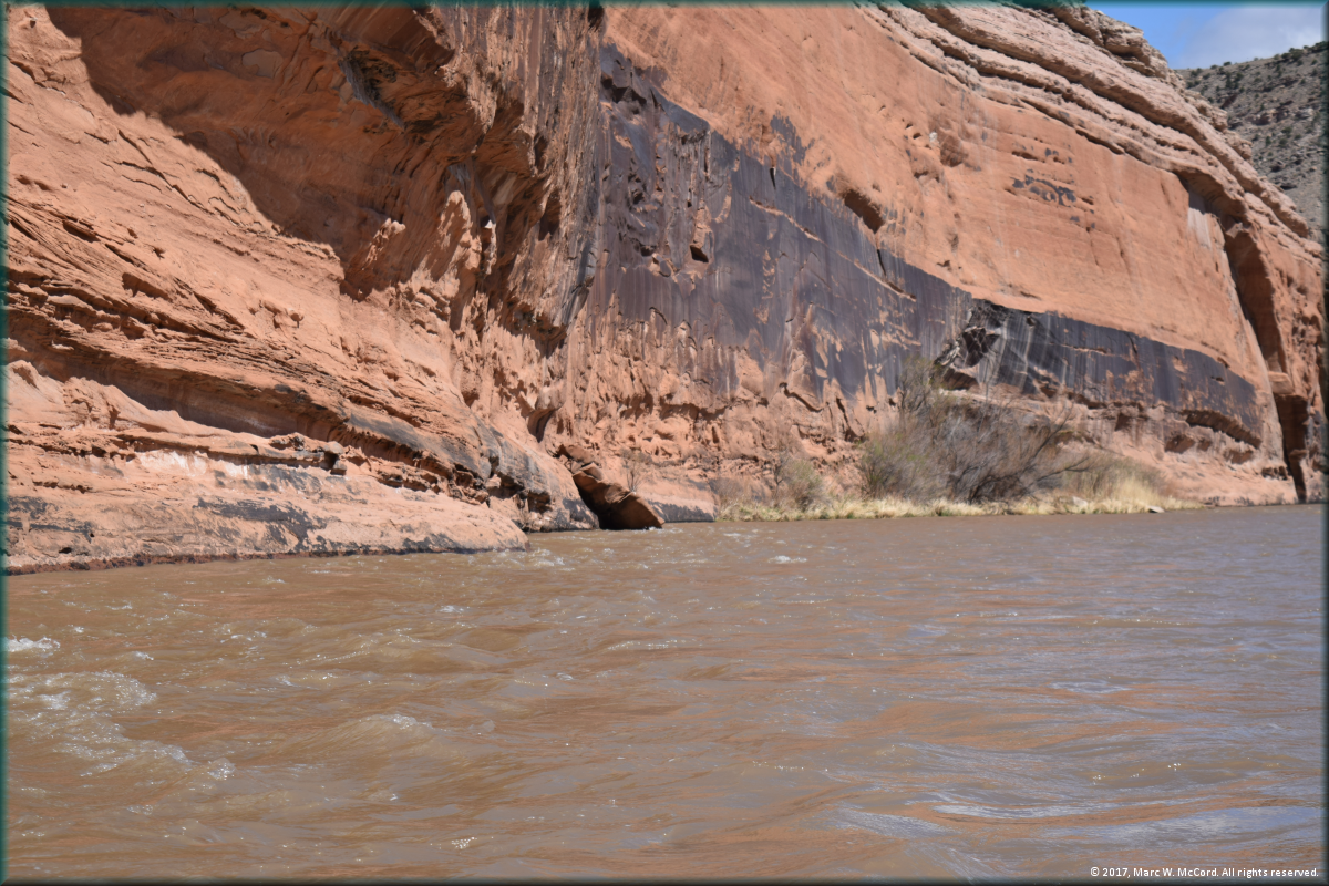
There are still some beautiful cliffs and rock formations on the Lower Gunnison River
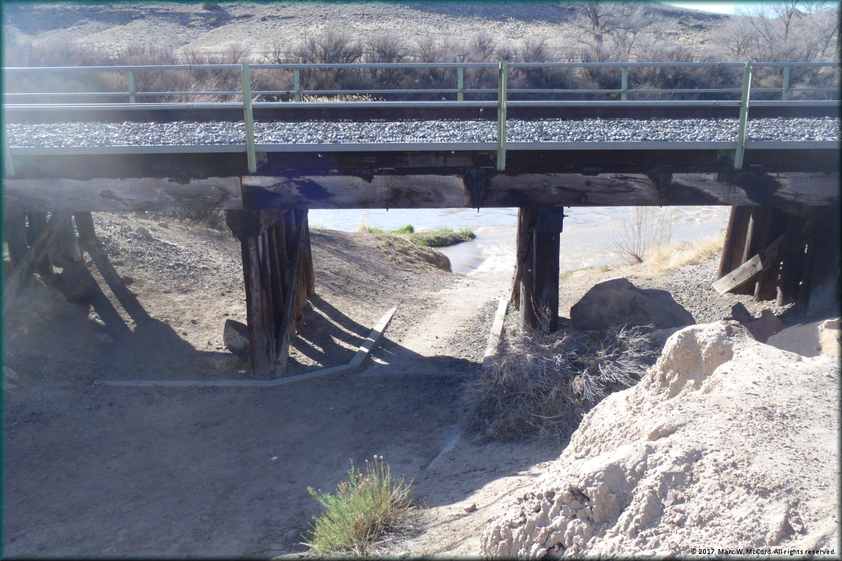
The Whitewater access is from under the railroad track
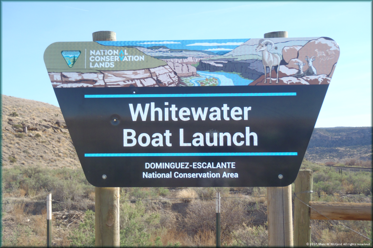
Sign marking the Whitewater Access
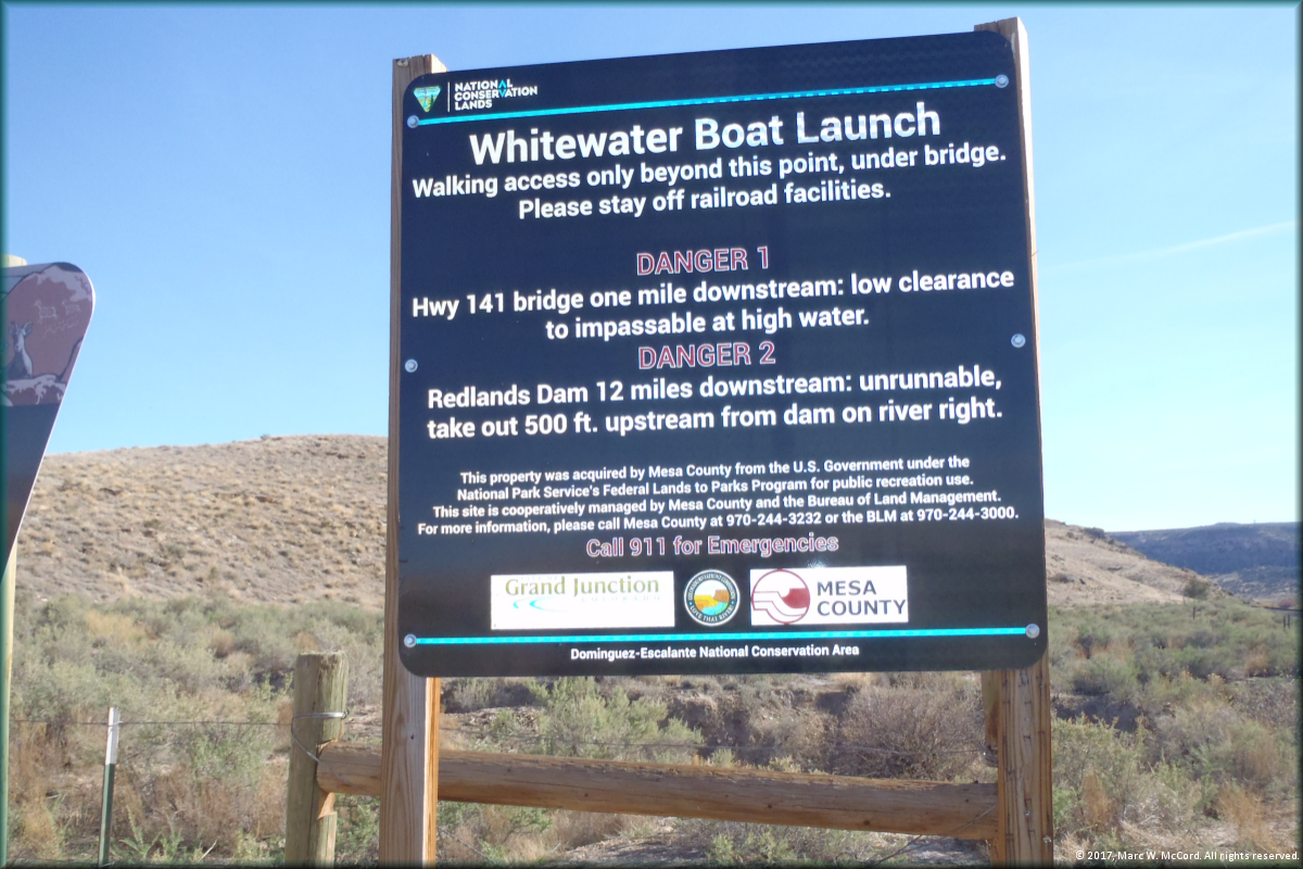
Warning sign at the Whitewater Access
|

Copyright © 1997-2018, Marc W. McCord dba CobraGraphics. All rights reserved. Southwest Paddler, CobraGraphics and Canoeman River Guide Services are exclusive tradenames and trademarks of Marc W. McCord dba CobraGraphics. The textual, graphic, audio, and audio/visual material in this site is protected by United States copyright law and international treaties. You may not copy, distribute, or use these materials except for your personal, non-commercial use. Any trademarks are the property of their respective owners. All original photographs on this web site are the exclusive property of Marc W. McCord or other designated photographers and may not be copied, duplicated, reproduced, distributed or used in any manner without prior written permission under penalty of US and International laws and treaties.
Last updated December 9, 2017 | |